Trail Info – 4-day Cederberg slackpacking hike

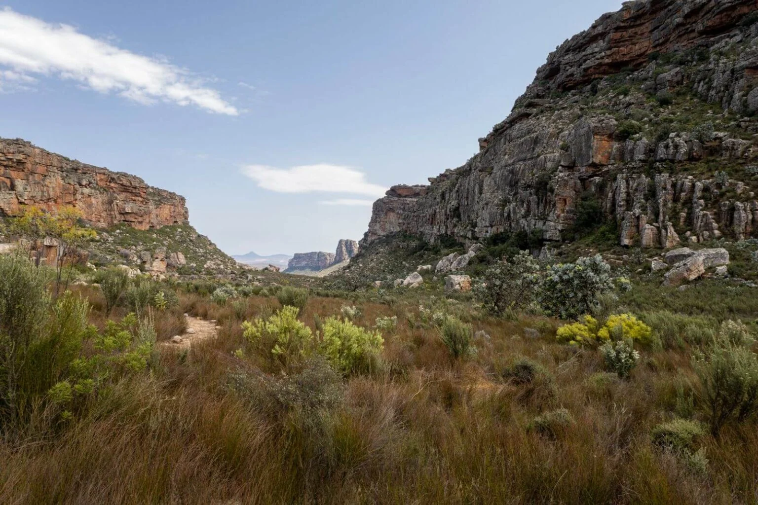
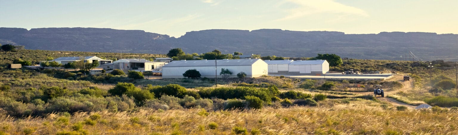
Come and walk four days through the private Klipopmekaar wilderness — a quiet, isolated part of the northern Cederberg mountains that was closed to the public and hikers until now

Quick overview

Quick Links

Decorative orange line divider

Self-guided vs. Guided

Two ways to walk

most common • most affordable

Self-guided and self-catered

Your friends/family, your pace, your own group’s favourite menus and dishes.

We’ll look after you

Guided and catered

A qualified/experienced guide leads your private group on your booked trail.

Decorative orange chevrons

Launching 2027

Decorative orange line divider

Day-by-day

Hiking schedule day-by-day

The full trail is about 50 km. Two gentler shortcuts exist (which reduce full trail length to 43 km) if your group would rather walk at a slower pace; and/or doesn’t feel fit enough to tackle the high Noordkrans peak loop on Day 3.

Day 1 • 10km • 4 Hours Walk

Visitors Centre to Hole in the Roof

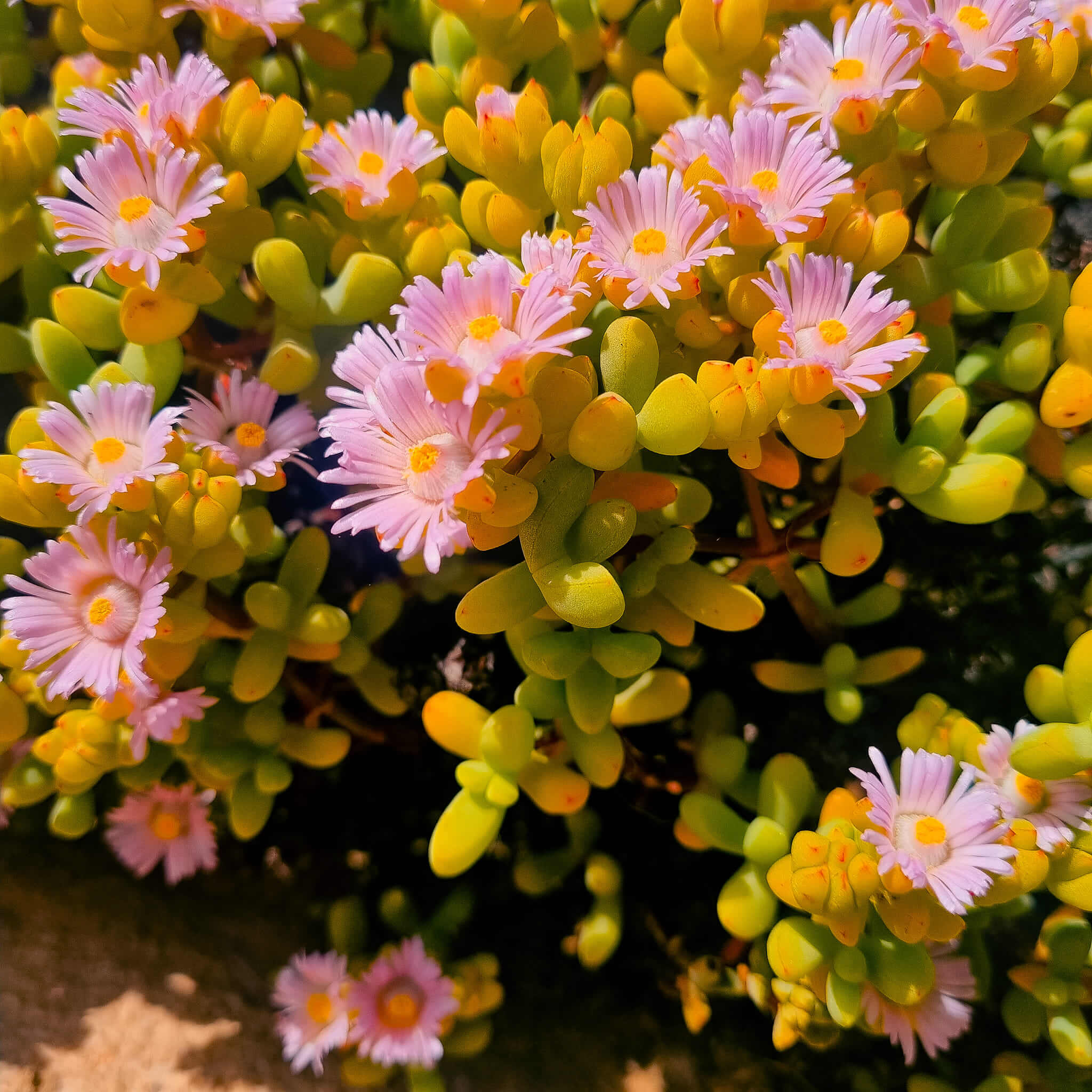
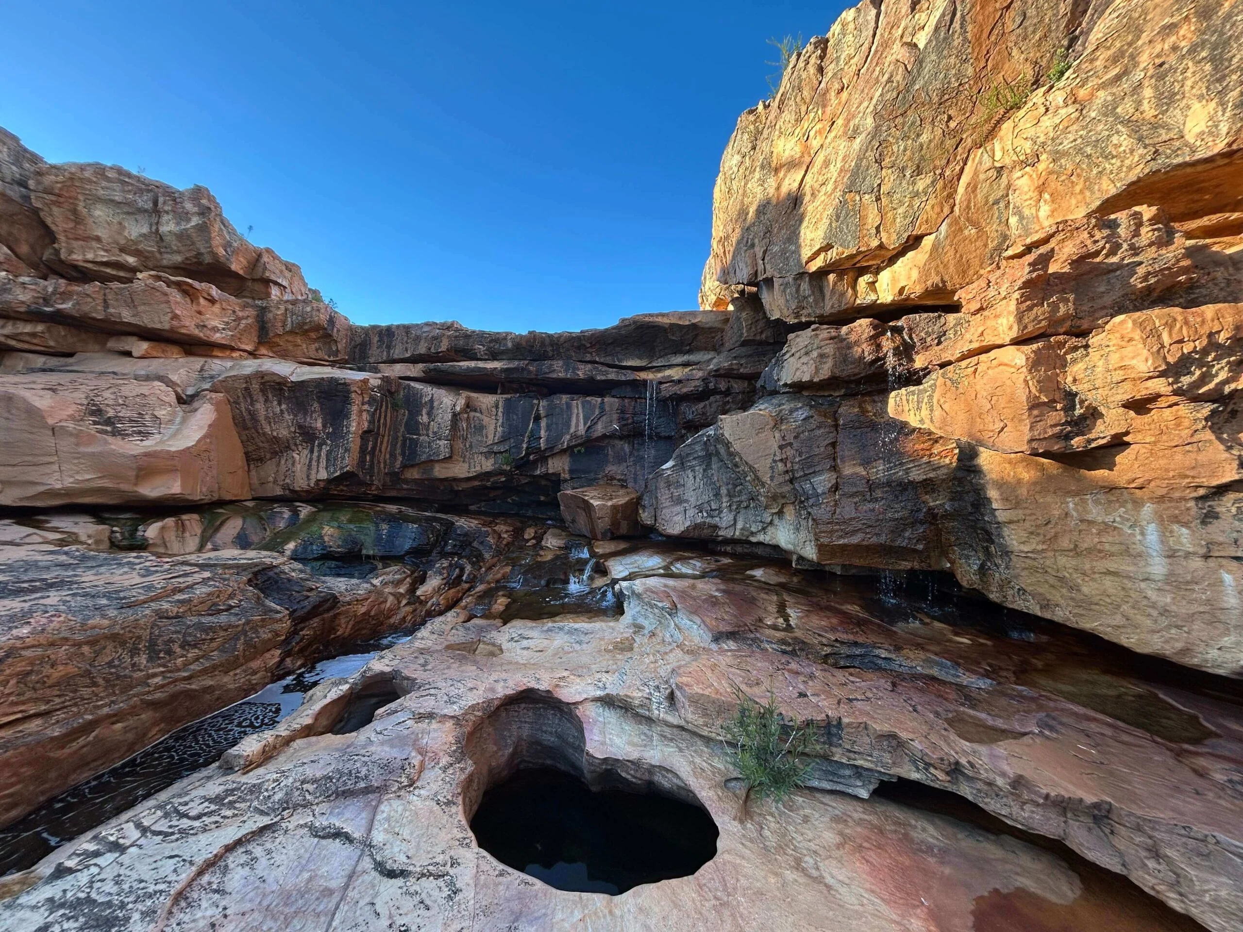
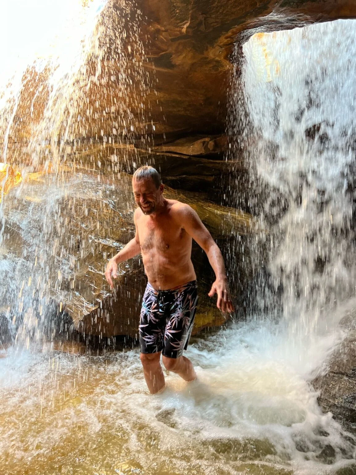
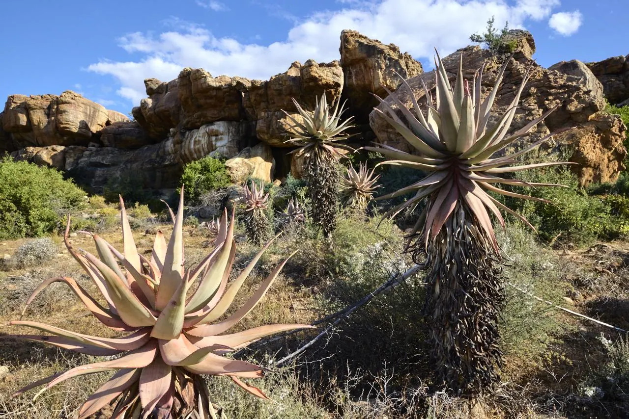
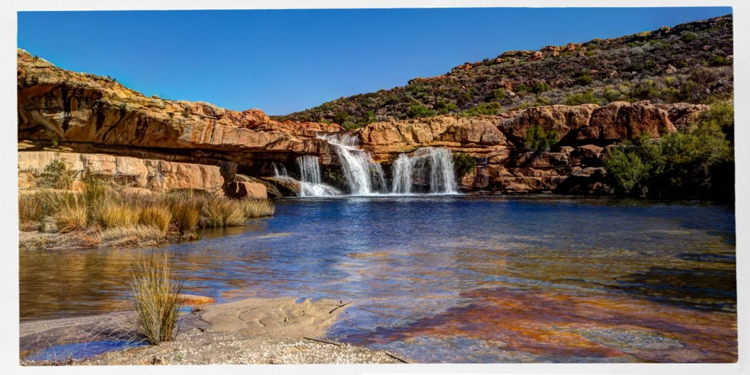
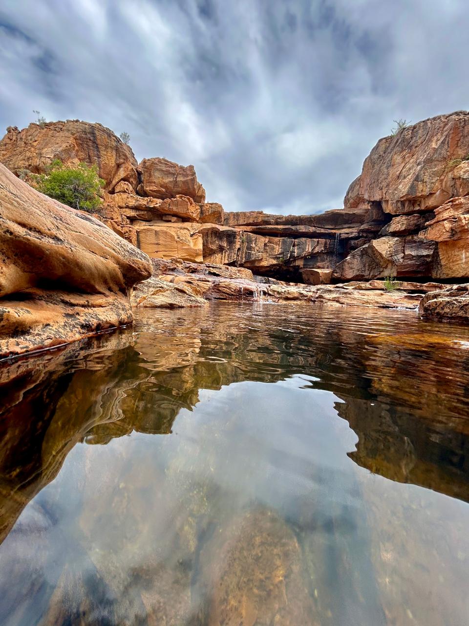
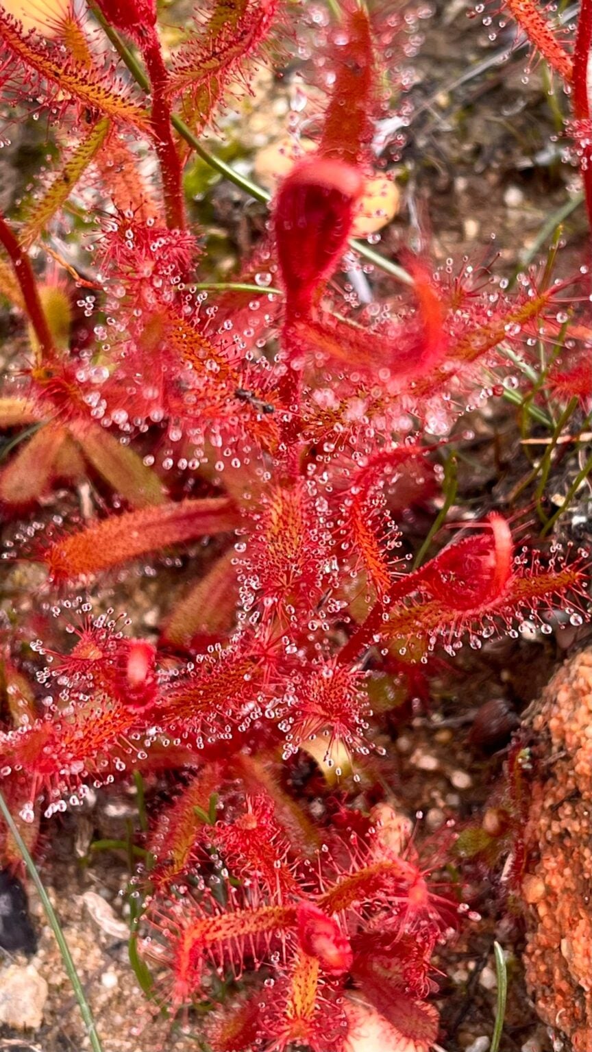
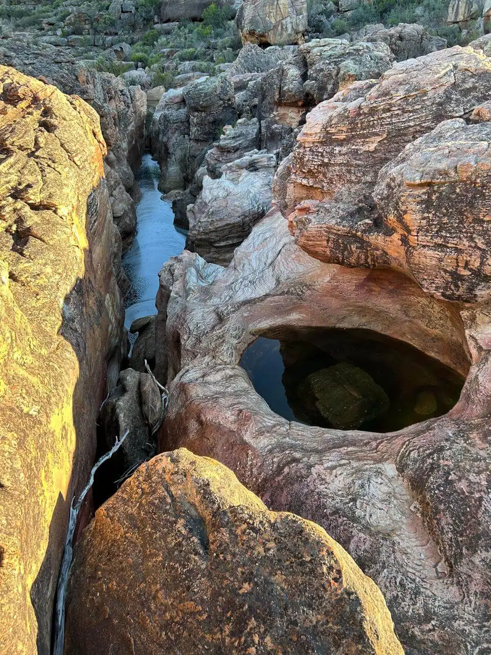
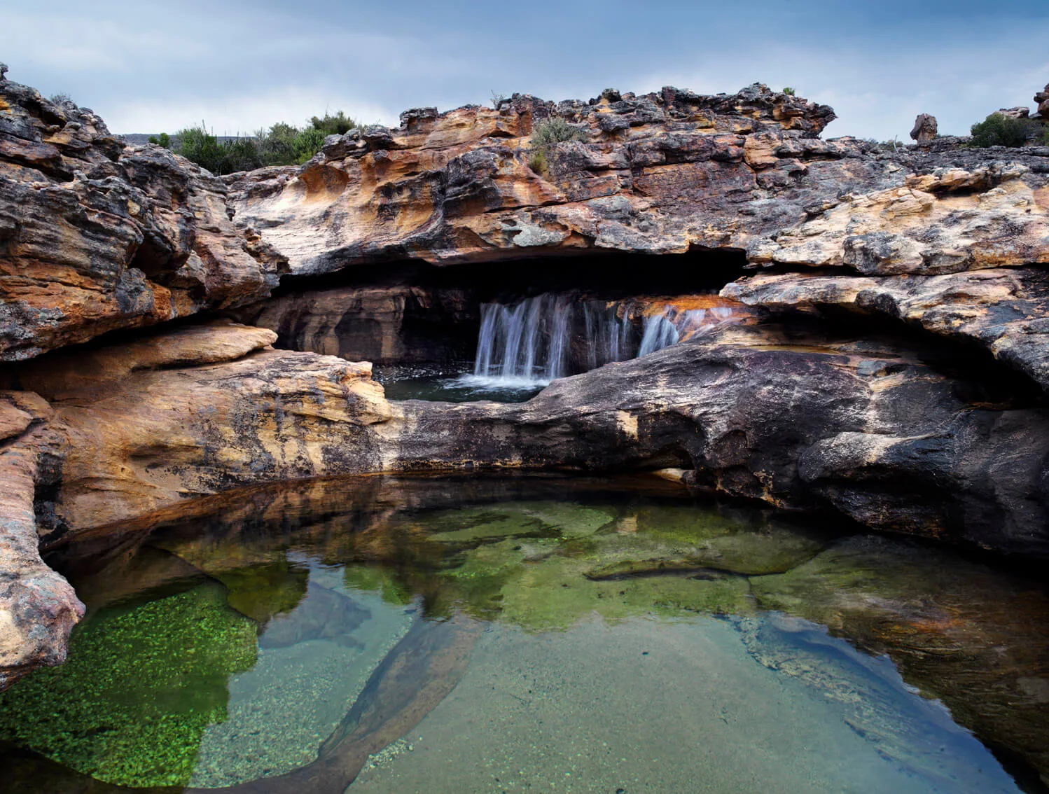
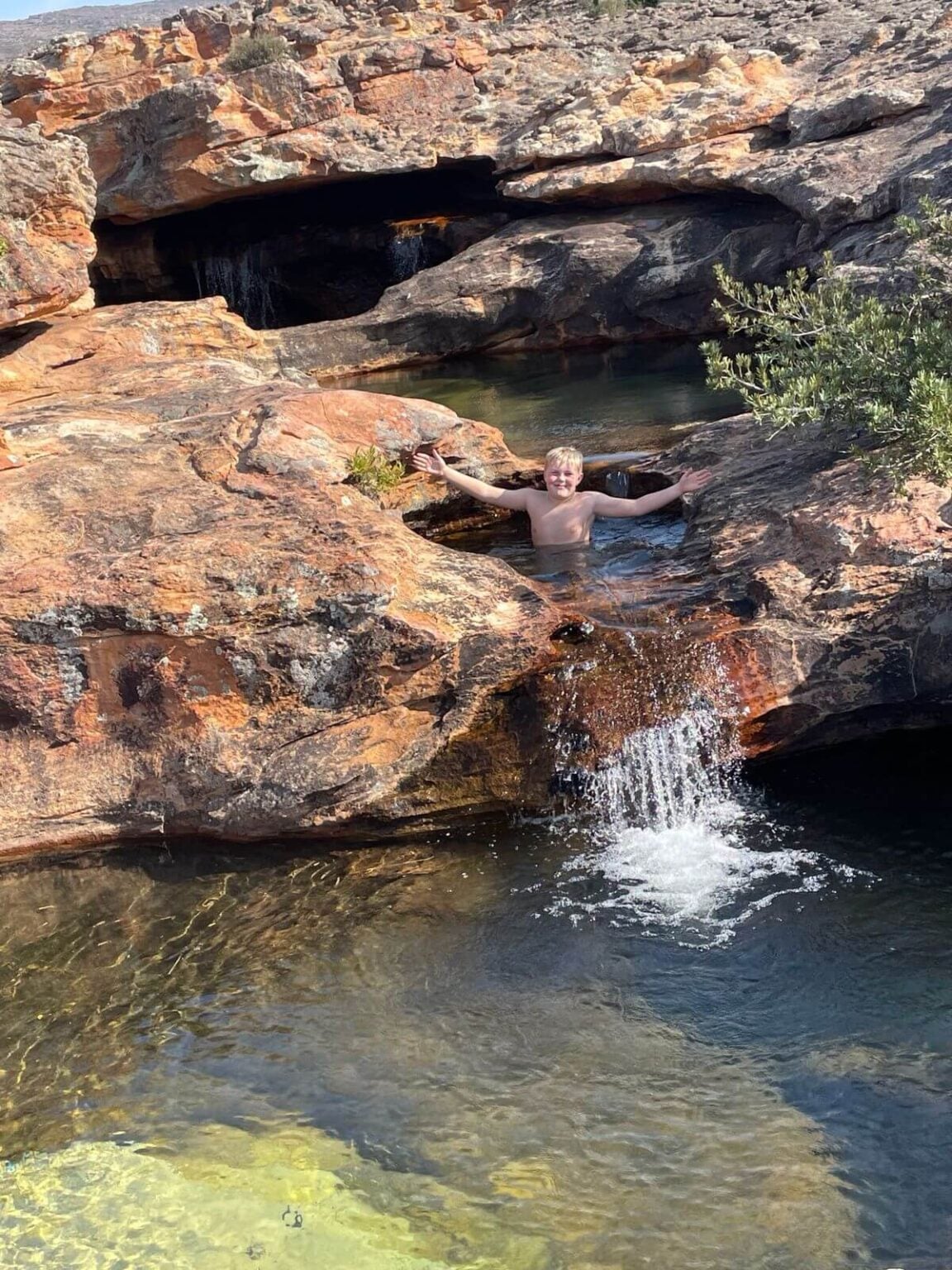
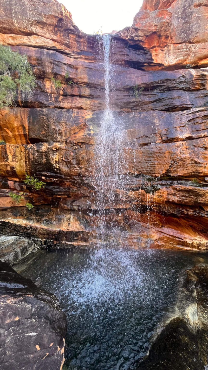
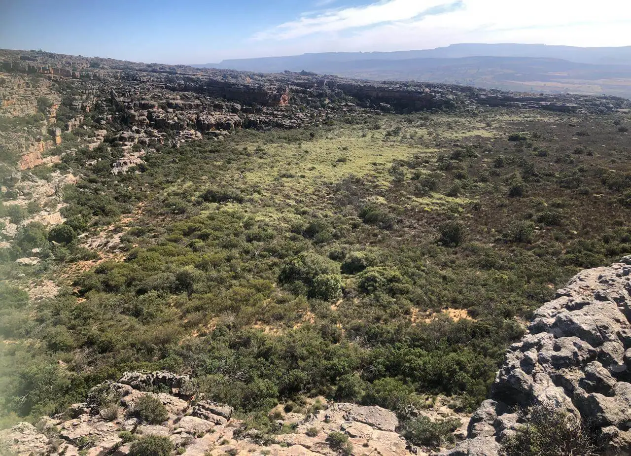
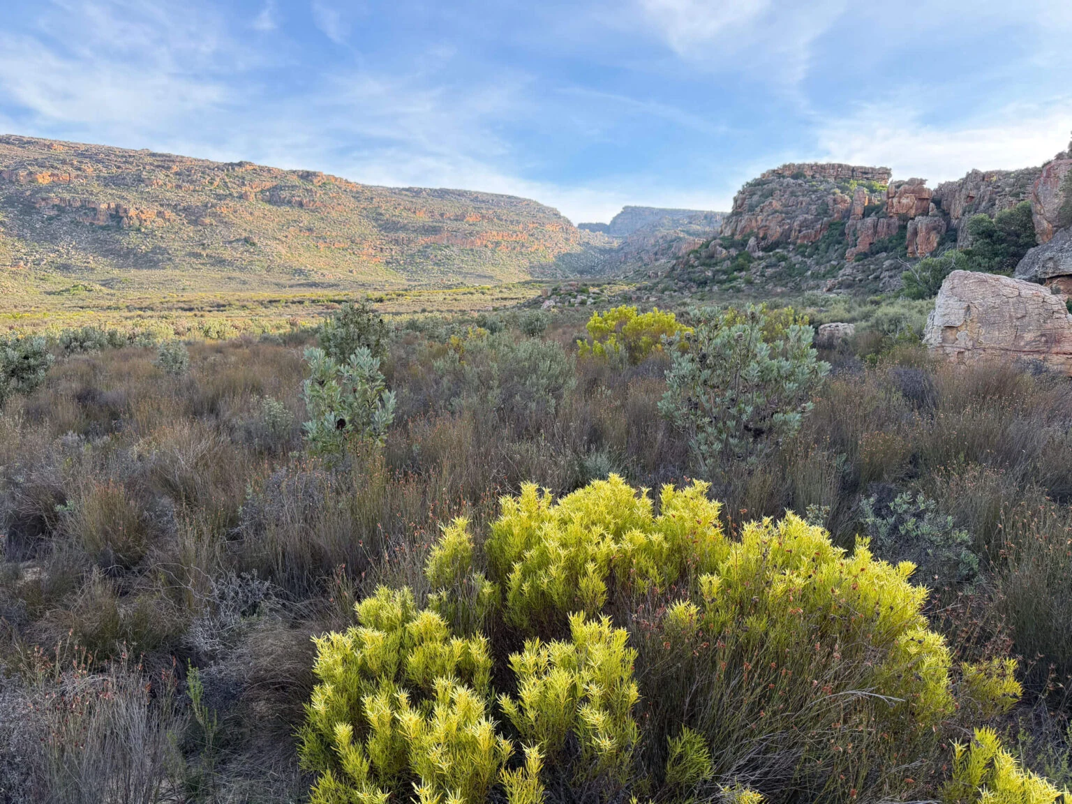
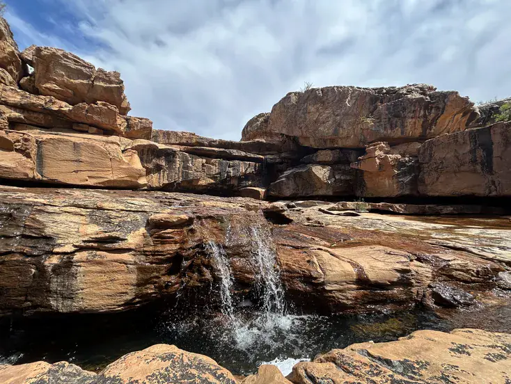
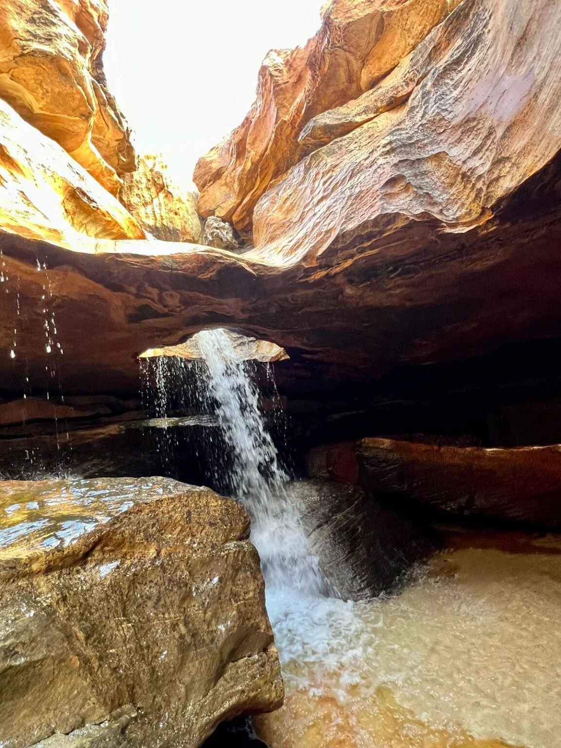
A long, gradual descent through bio-diverse Cederberg mountain fynbos and succulent Karoo flora — a myriad of small, stubborn, beautiful plants — down to the Waterfalls River. During winter and spring when the river runs, you then hike up past beautiful waterfalls, sculpted rock formations and swimming pools you’ll not want to rush, and arrive at Hole in the Roof.

If you start late, or want to walk a shorter route on Day 1, a shortcut of about 8 km (2½ hours walk) gets you to Hole in the Roof camp quicker. But you’ll miss two of the most impressive waterfalls the trail offers.

We recommend you plan to arrive at our Visitors Centre & Parking by 11:00, which will get you walking by 12:00 (after your group’s trail briefing). The first day’s walk should see you arrive at camp around 16:00; a swim or two can push that towards 17:00 to 18:00.

Day 2 • 11km • 4-5 Hours Walk

Hole in the Roof to Die Bassie

Your day starts south up the Waterfalls River: more falls, potholes, river-bed sculptures, another excuse to get your costume out, when the rivers are running.

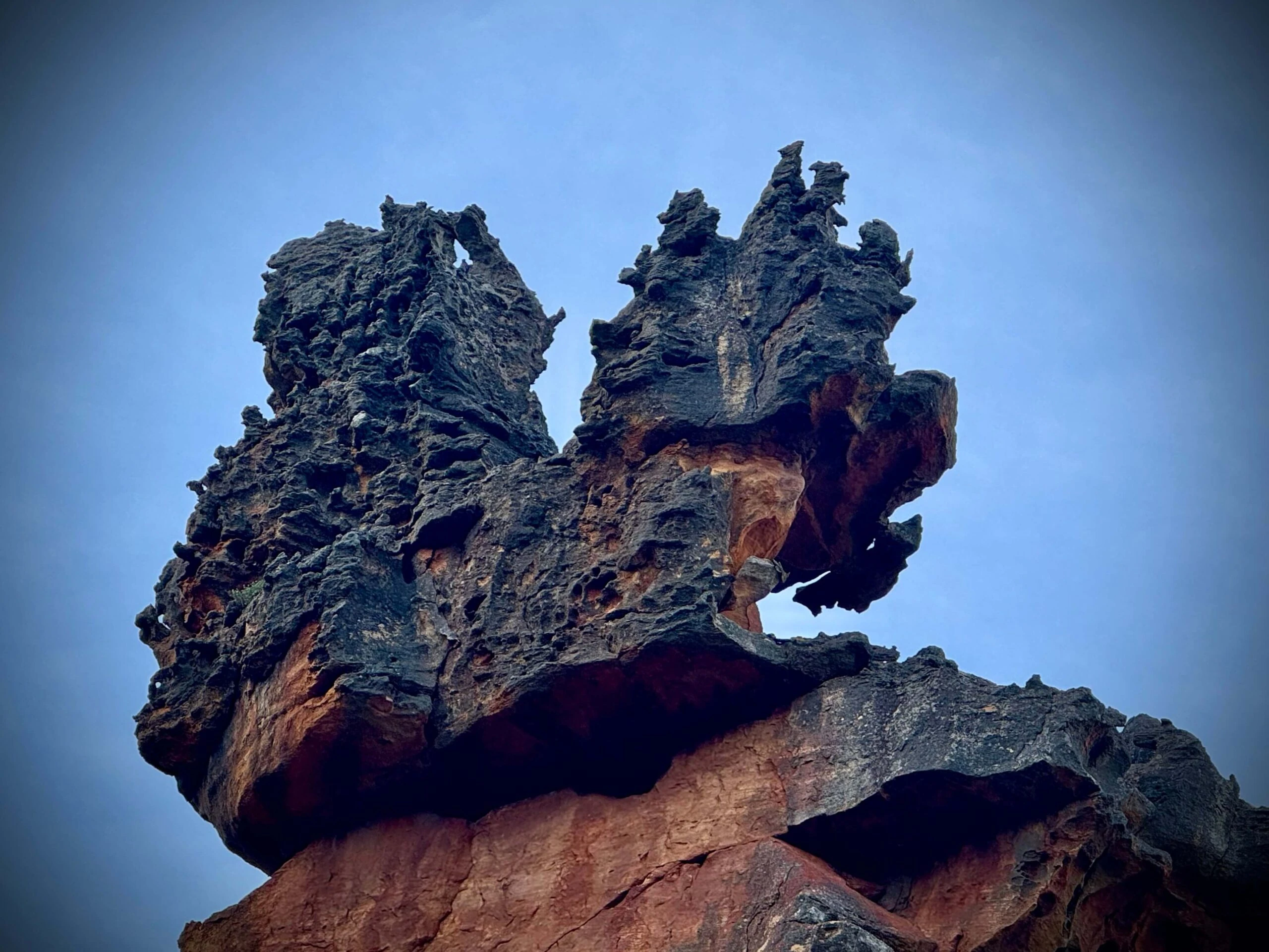
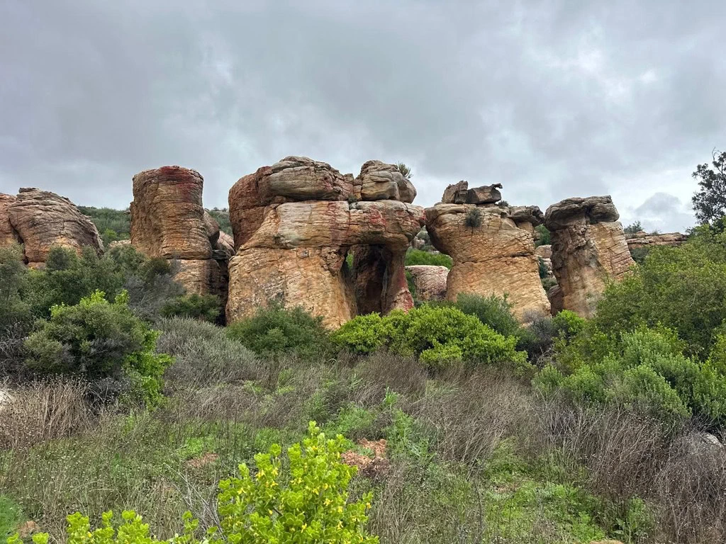
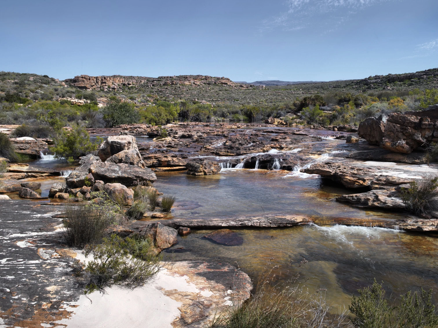
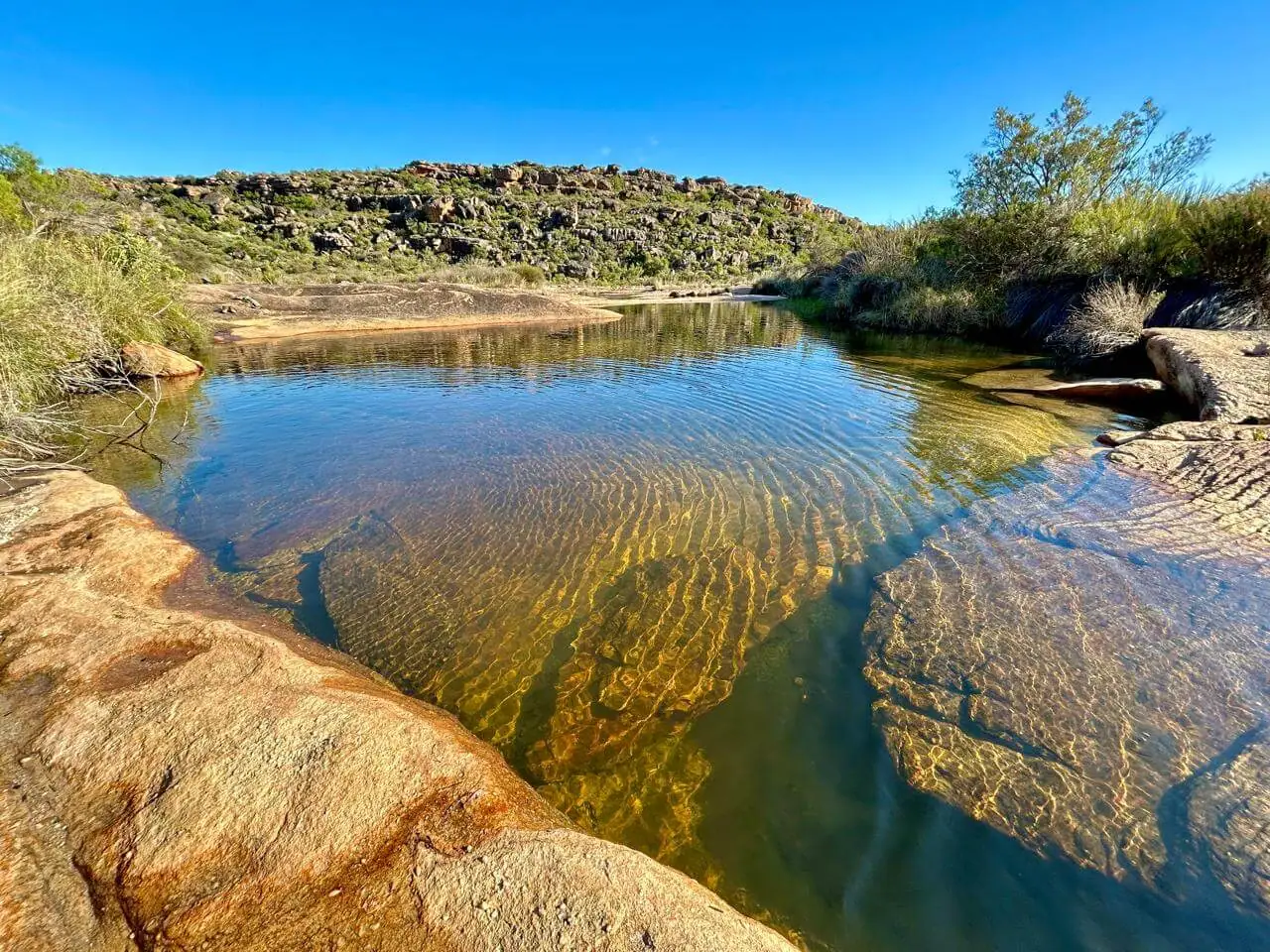
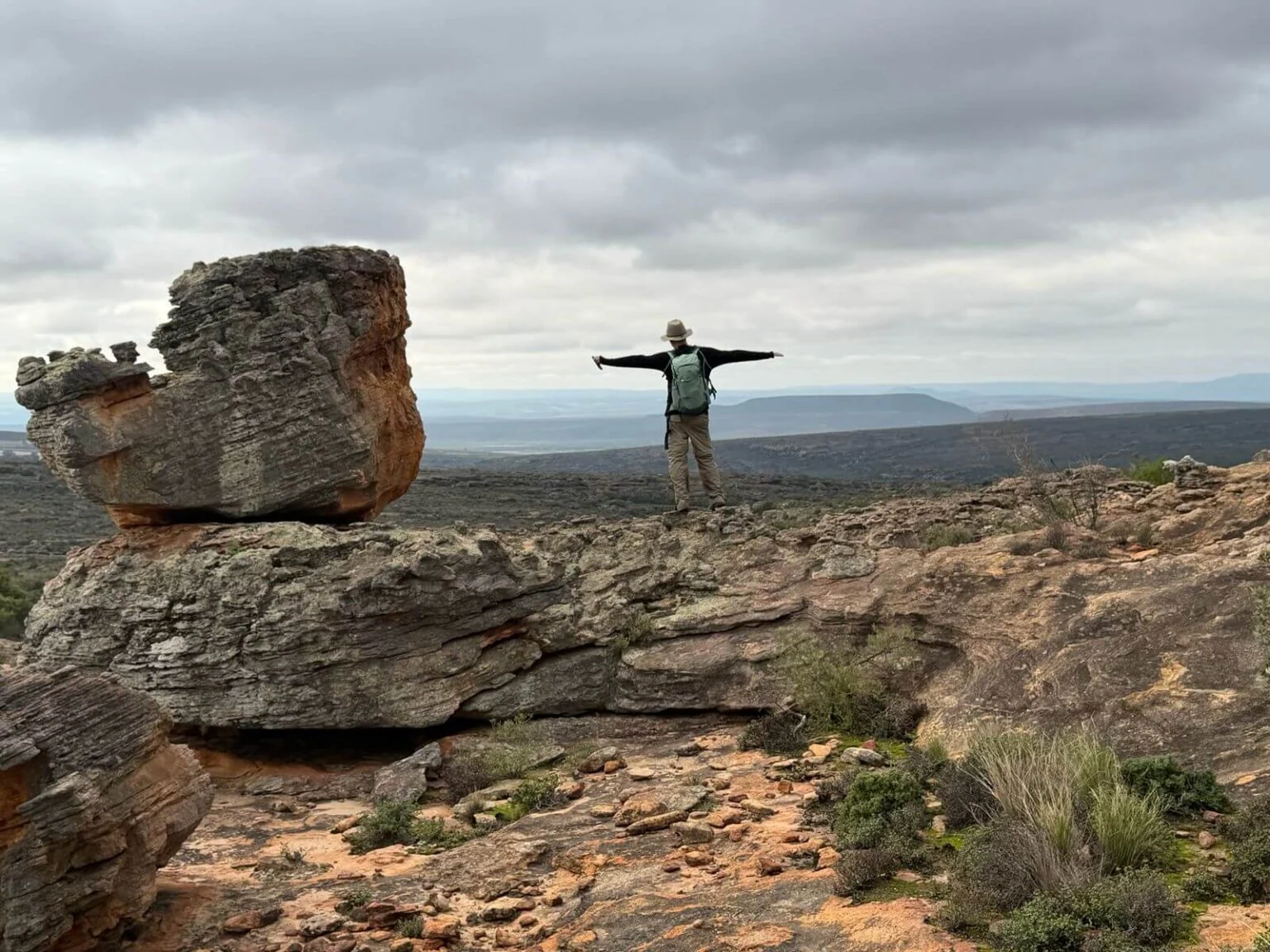
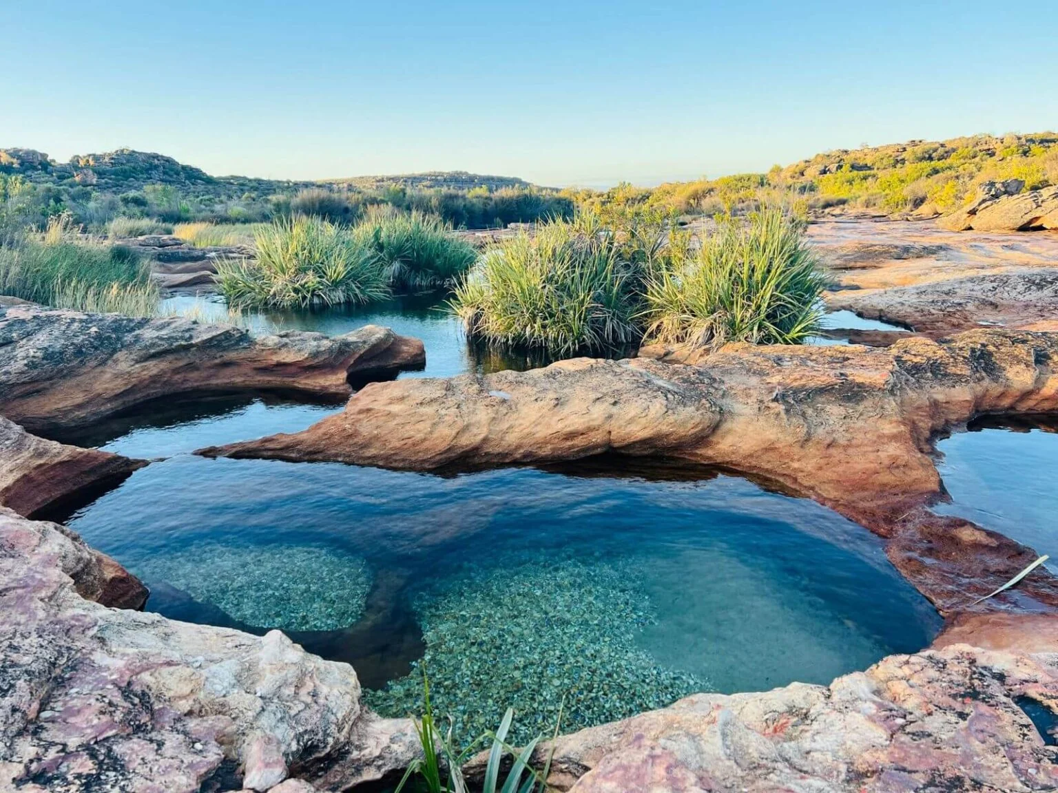
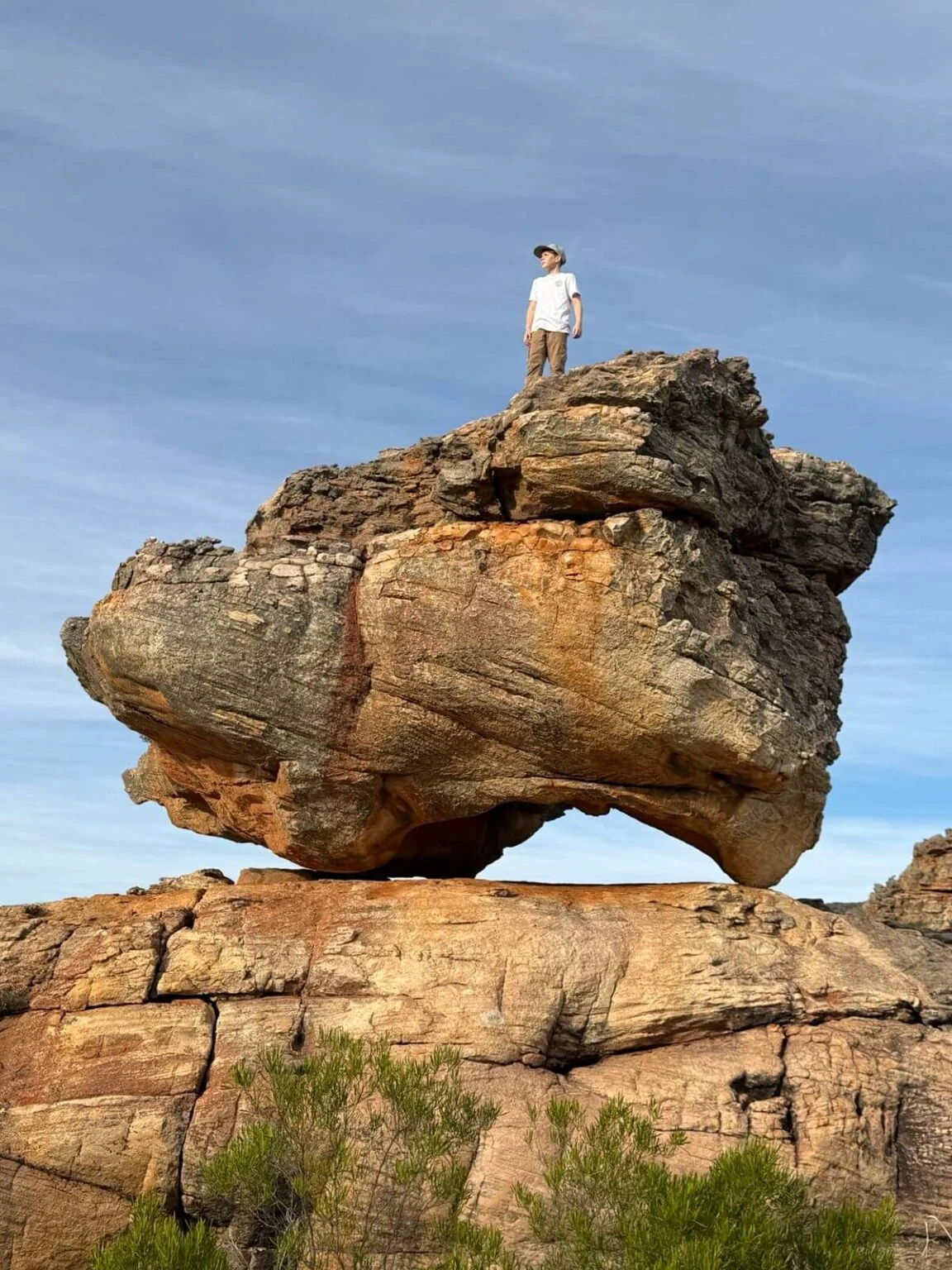
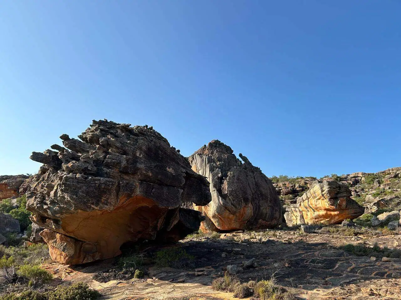
Then the trail turns west over weathered sandstone hilltops — the kind of rock that looks invented — and down onto a tributary of the Klipopmekaar River. Then, again if the rivers are running, it’s magic to spend time at the cascading crystal pebble pools.

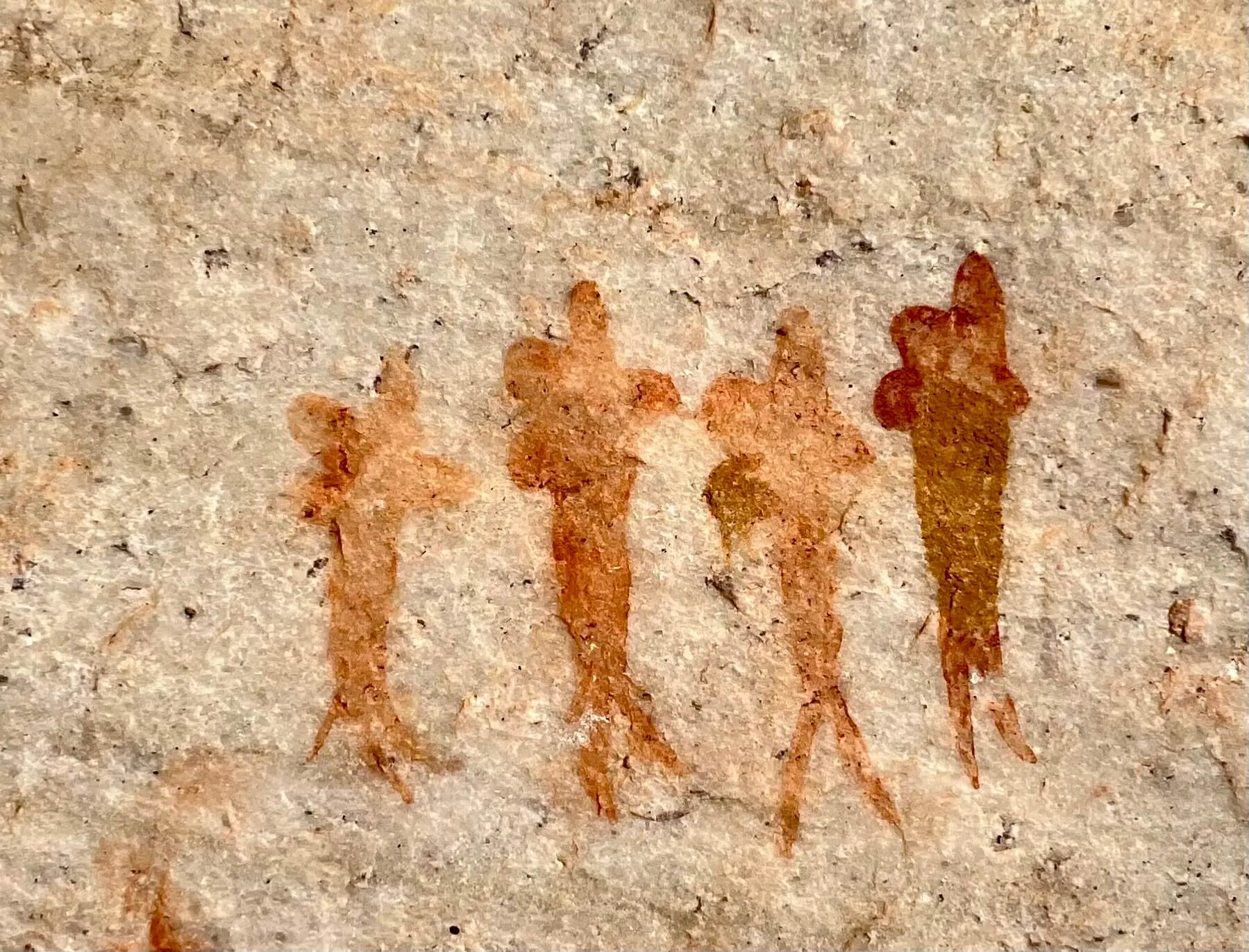
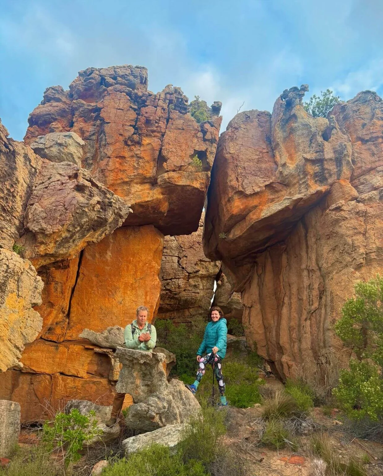
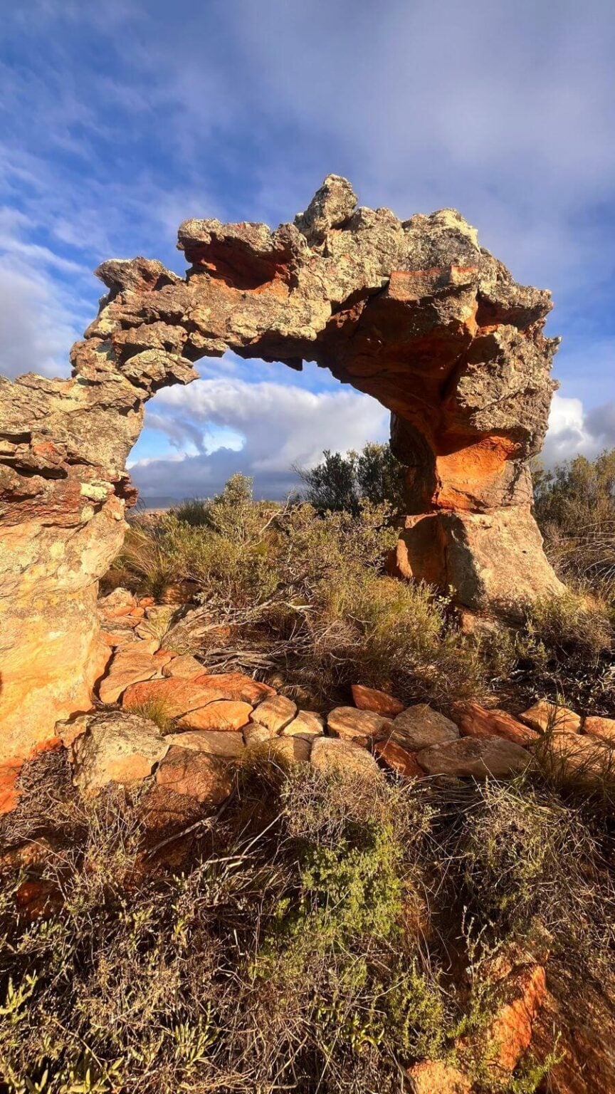
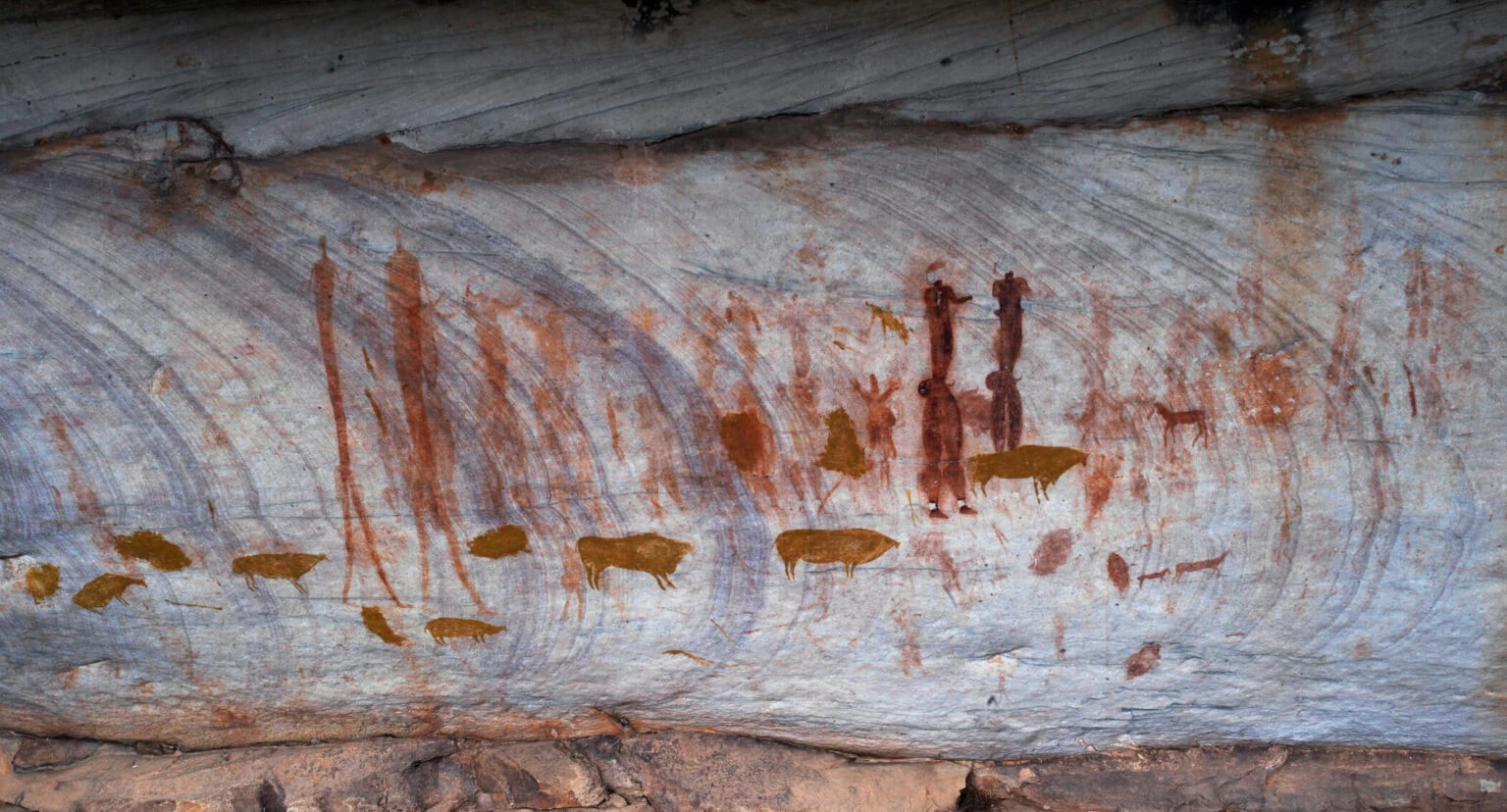
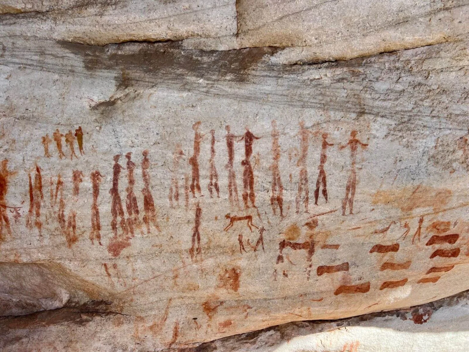
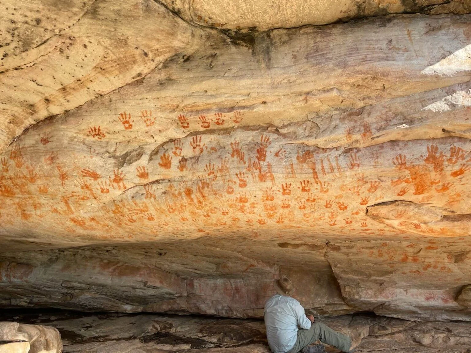
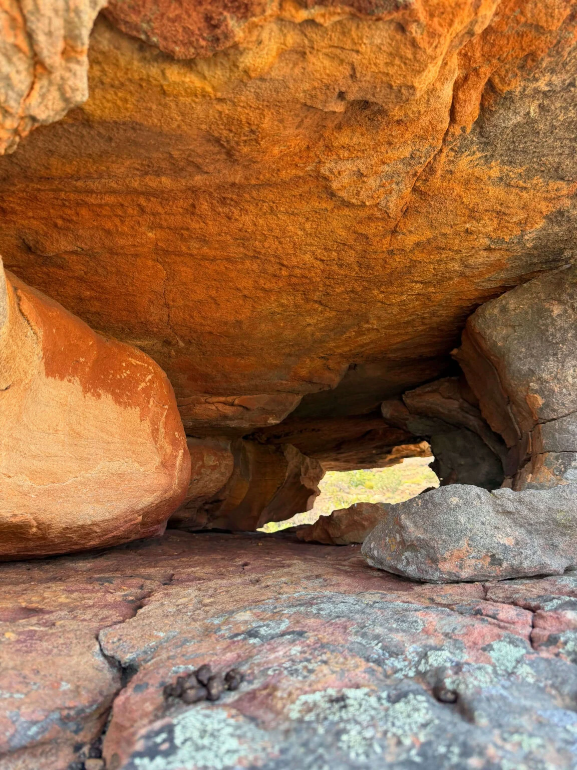
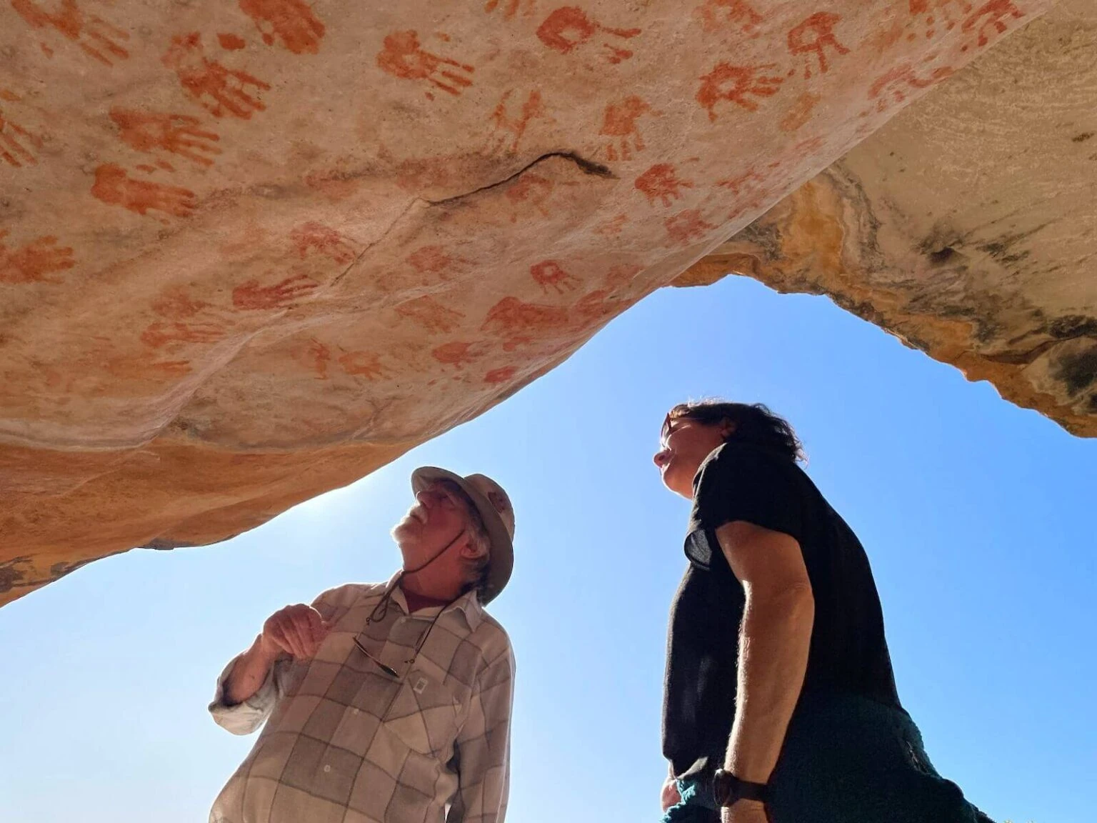
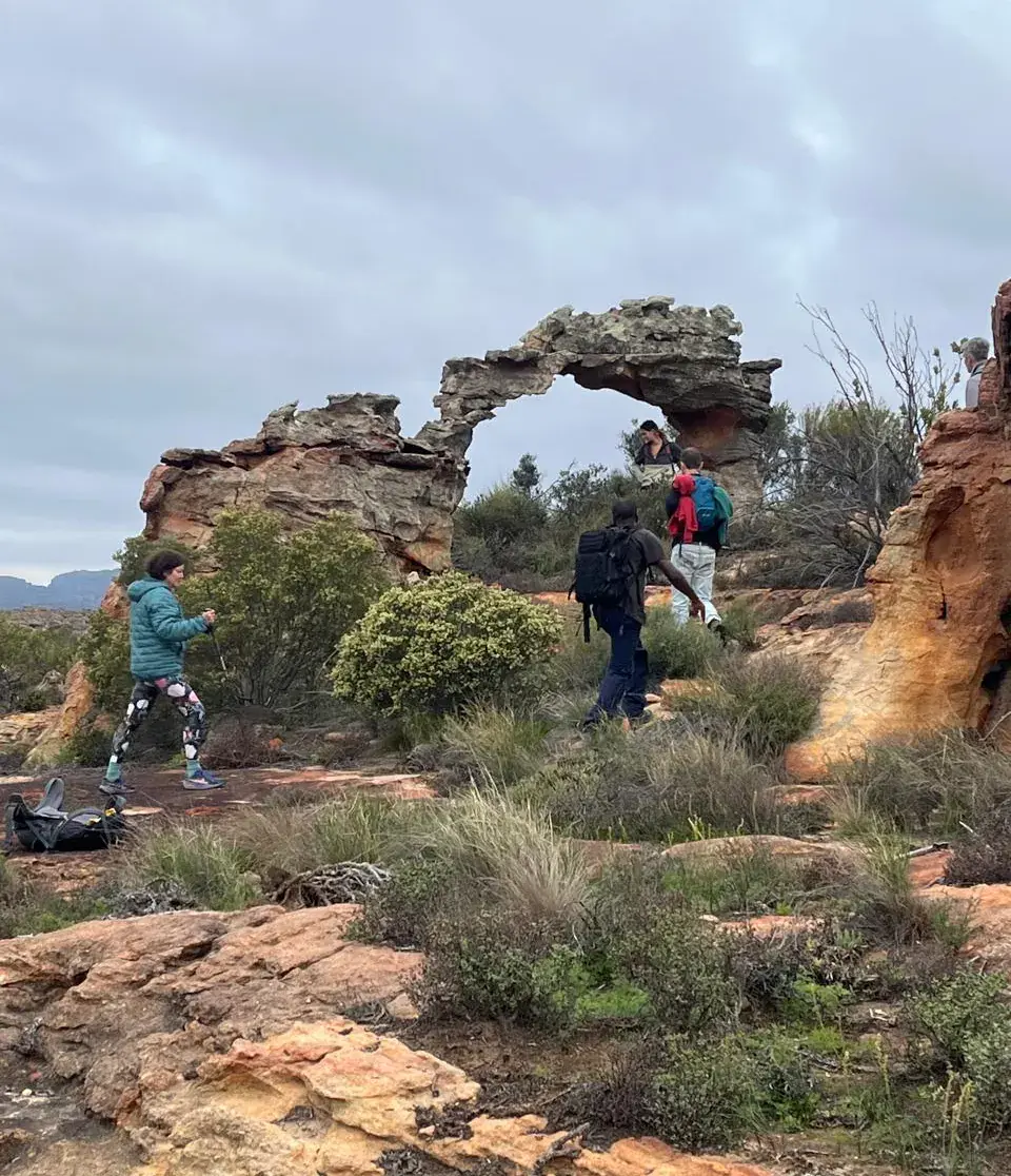
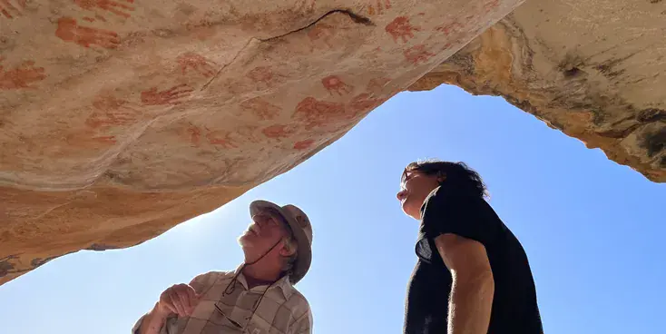
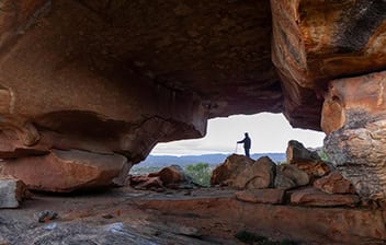
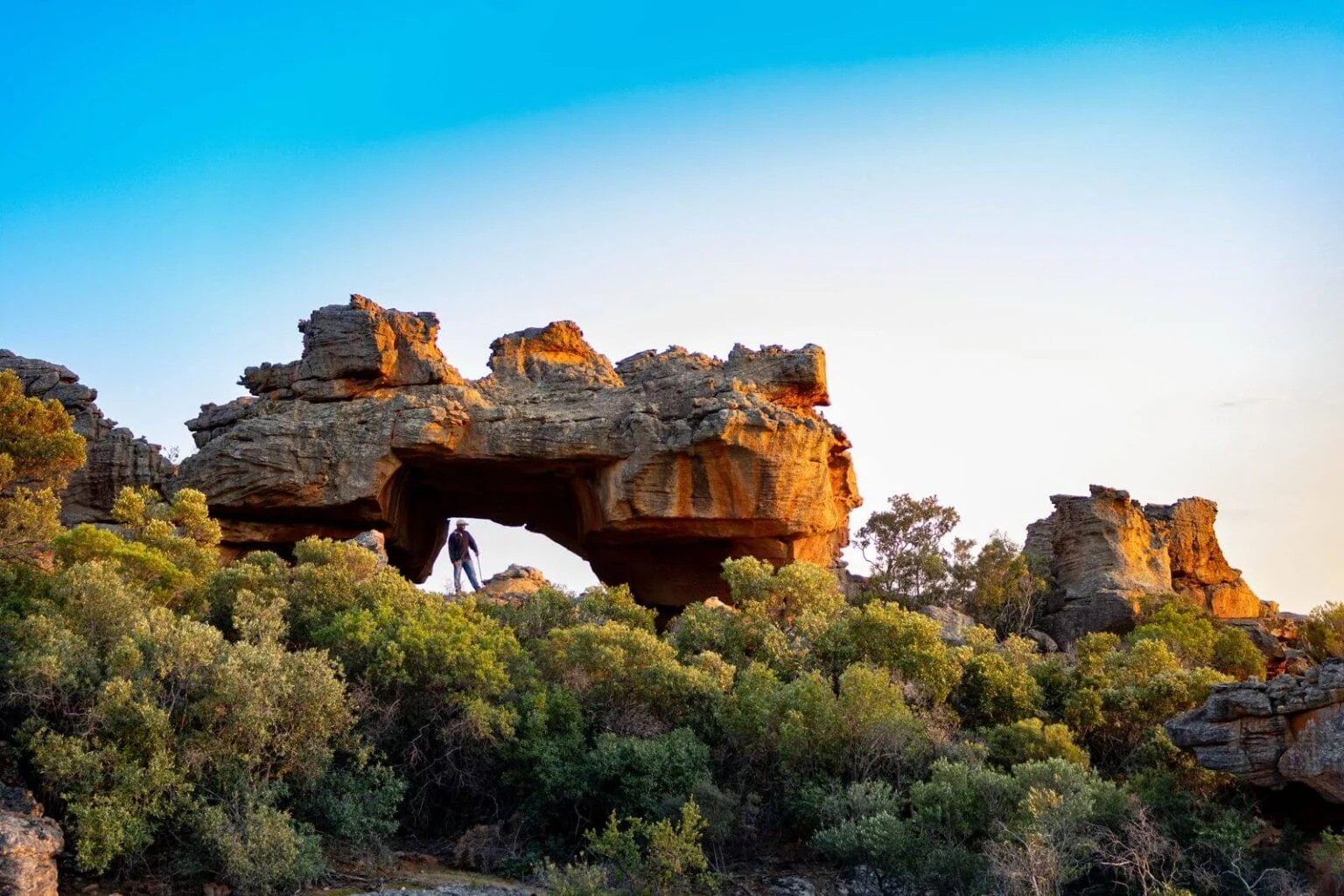
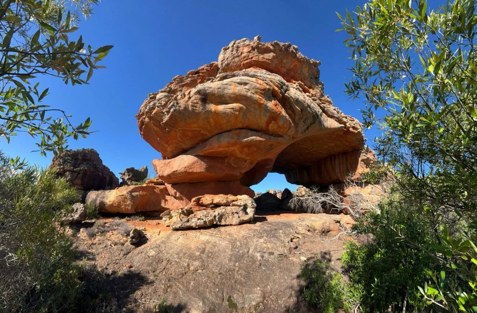
Next you’ll walk under Neill’s arch and through rock passageways. A San rock-painting cave that asks you to go quiet for a minute is a must-see. Then lastly a kind descent to Die Bassie.

Day 3 • 18km • 7-8 Hours Walk • (Shortcut 13km, 6 hours walk)

Die Bassie to Dragon’s Lair

Set your alarm for an earlier start. This is the big, generous day.

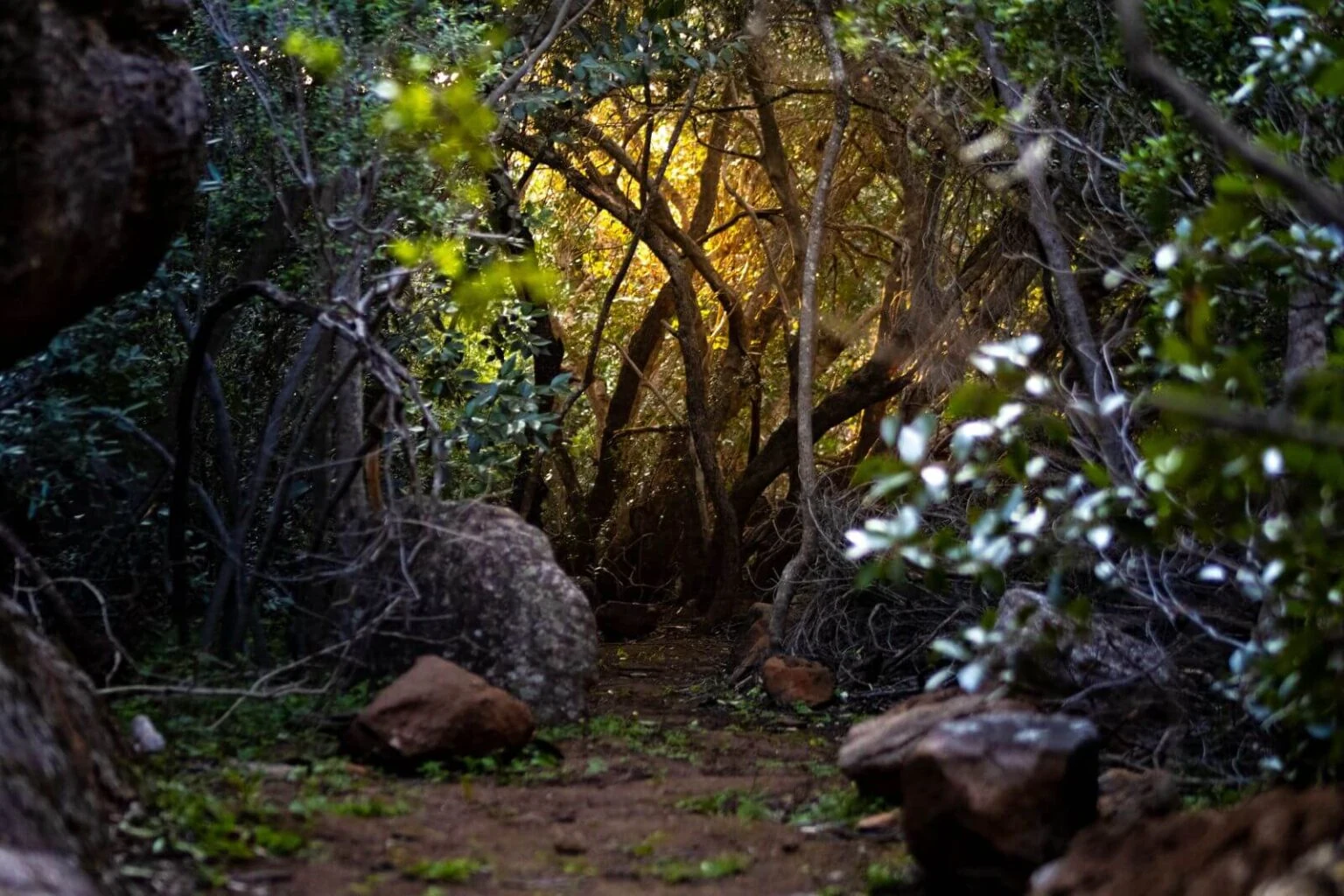
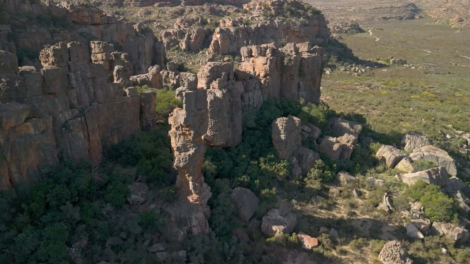
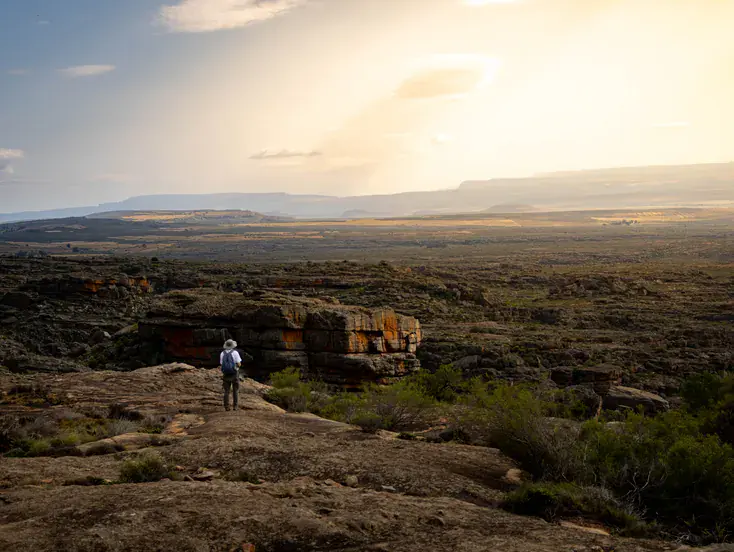
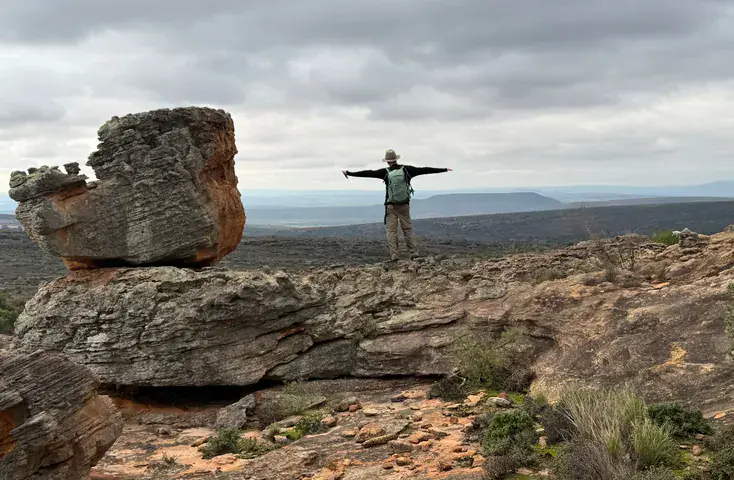
You head south, across the Klipopmekaar River, up towards Karin’s Arch and the Enchanted Forest. A fine San rock-art gallery, and then a long relaxed climb over vast sandstone sculptured plateaus to the Western Gate Valley and Pillars.

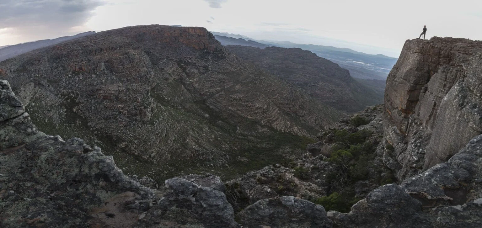
Next is (the optional) ascent and loop hike up and around Noordkrans Peak. This should only be hiked if the weather is fair, the group is fit and has sufficient time to complete. Alternatively you can take the shortcut, which cuts out about 4.5 km (2 hours) – but you will miss the Boulder Garden, Lost Crater, Skyledge, and incredible views of the Cederberg peaks/valleys all around you.

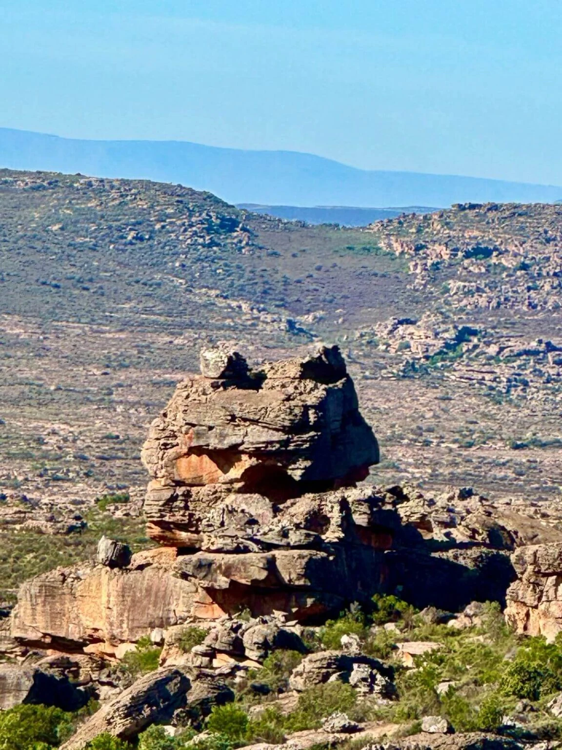
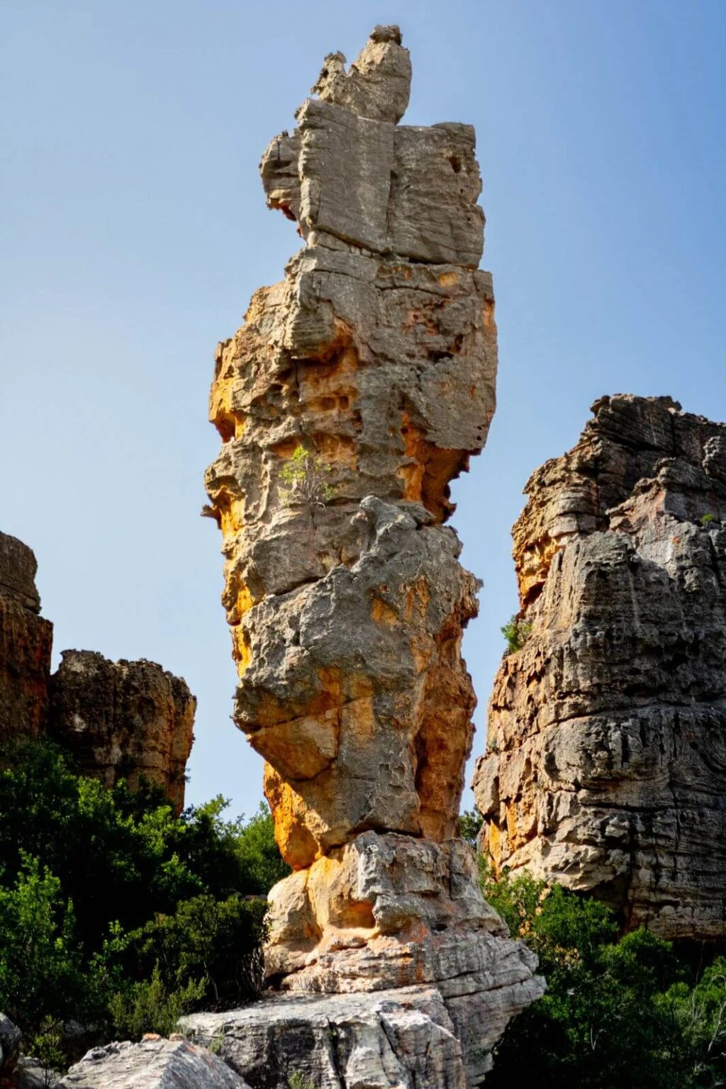
After Noordkrans (both long loop or shortcut) the path drops west into Verkeerde Valley, spotting the Cederberg Dainty Frog formation, past Jack’s Tower and onwards to Dragon’s Lair.

Day 4 • 11 KM • 3-4 HOURS WALK

Dragon’s Lair to Visitors Centre

If you leave by 09:00 you should be back at The Visitors Centre & Parking around 13:00, in good time for your drive home, and the first retelling of the week.

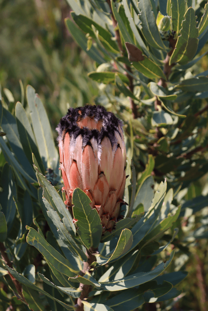
The route starts Eastwards, across the Klipopmekaar River once more, and slowly ascends over more weathered and sculptured sandstone plateaus, then through a Protea forest and onwards up to Suurkop.

As the trail bends north, the views open up towards: the Doring River region, Tankwa escarpment, the Biedouw, and Tra-Tra mountains above Wupperthal.

One last surprising gallery of San rock paintings and handprints. Then west to the trail end at the Visitors Centre, your undercover-parked cars, and a hot shower before your drive should you wish.

Decorative orange line divider

Difficulty

Trail difficulty and fitness required

The full trail is 50 km and is

Moderately Strenuous

Hikers must be in good general health and have reasonably good mountain walking fitness to enjoy the trail.

Hardest day:

Day three (18 km) needs an early start and good hiking fitness. However, if preferred, the Day 3 shortcut removes a strenuous 4.5 km climb and loop around Noordkrans Peak … thus making the day easier.

Accommodation

Where you sleep and stay

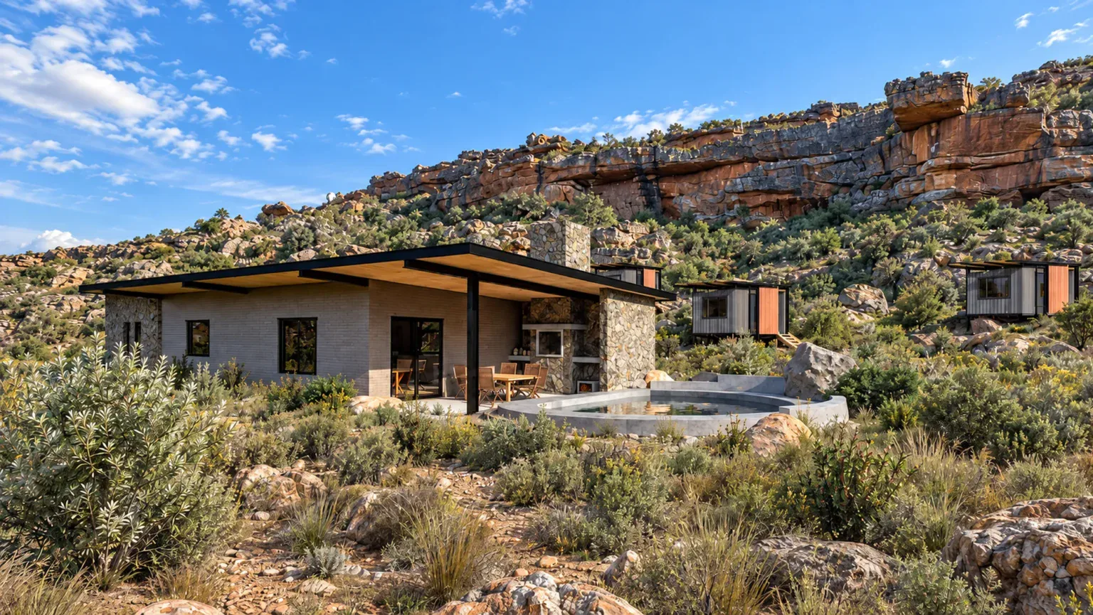
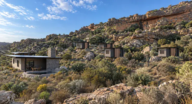
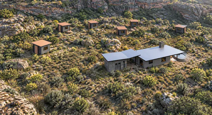
Three custom designed and beautifully built overnight camps:
Hole in the Roof, Die Bassie and Dragon’s Lair.
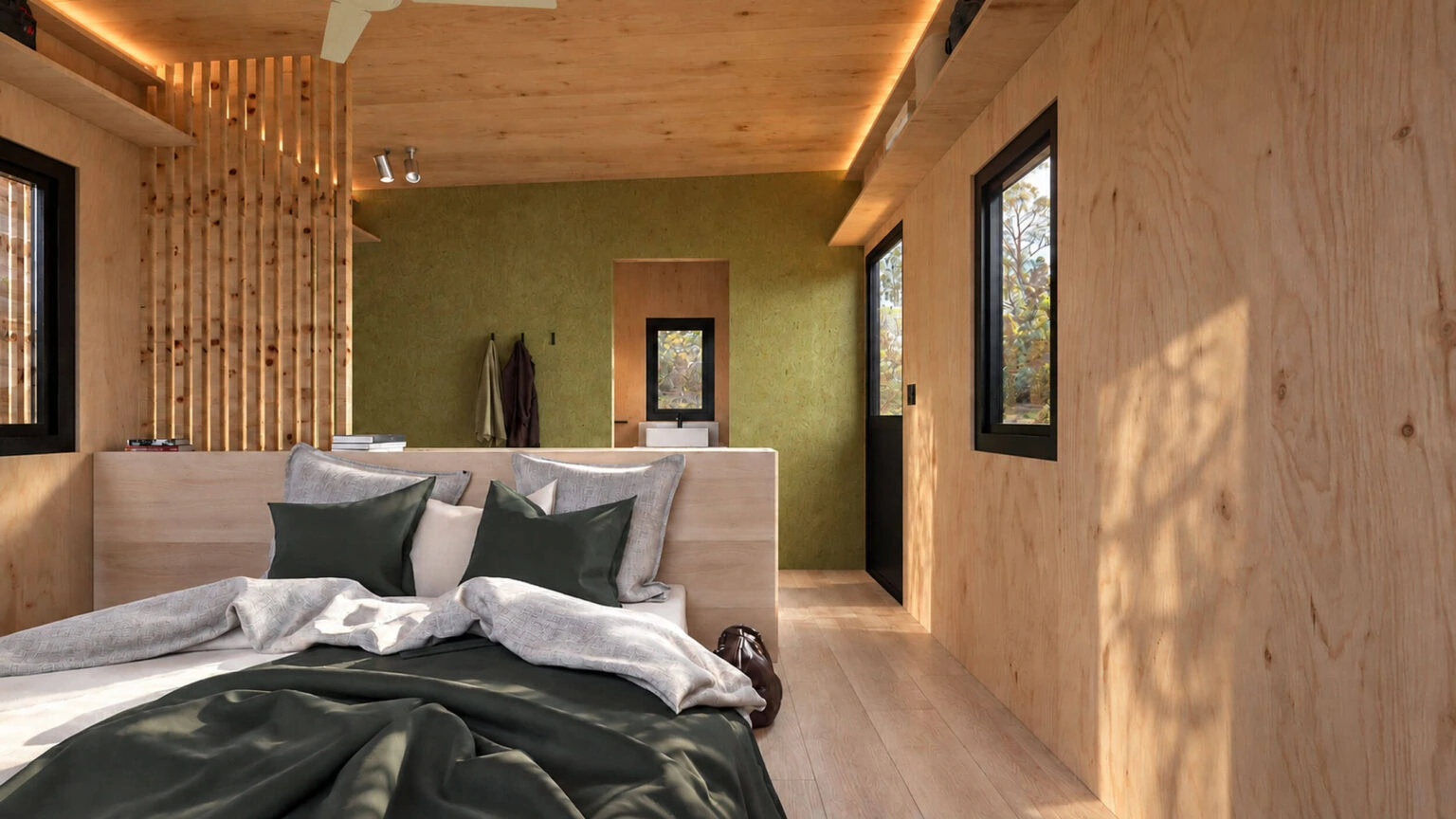
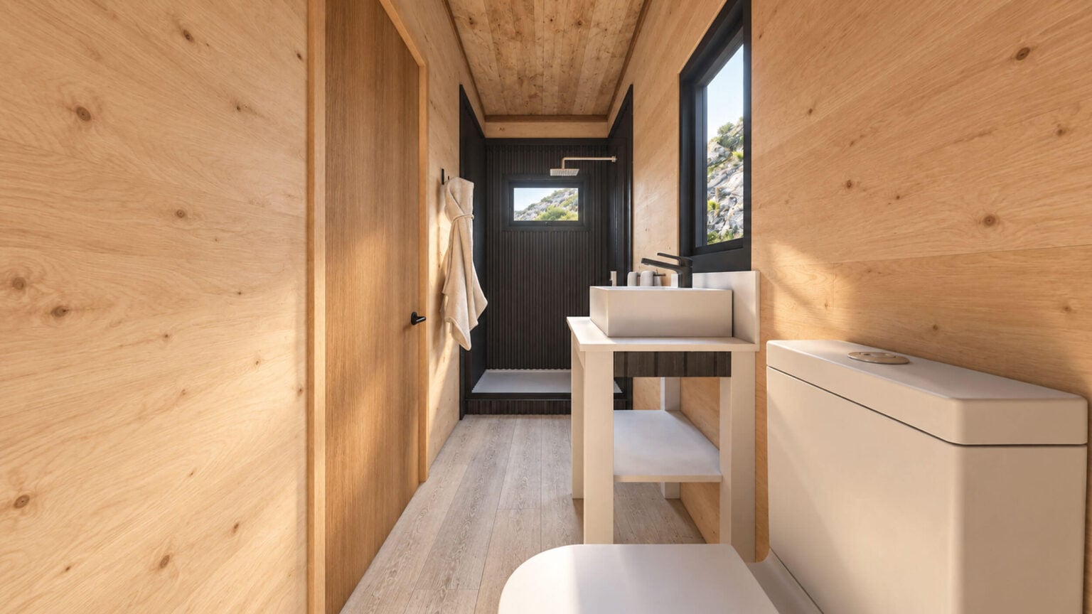
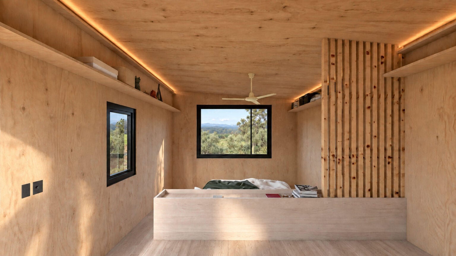
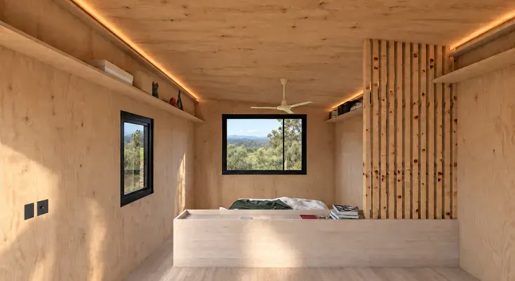
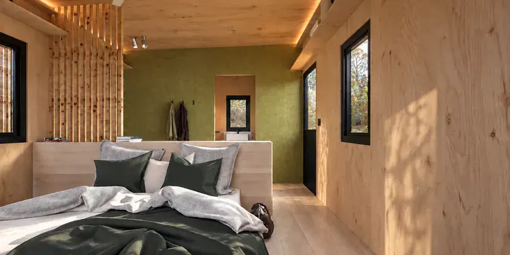
Your POD

6 private PODs per camp. Each POD has:

The PODs are well insulated and double shaded. Winter nights are cozy; on hot summer nights overhead fans in all PODs are provided to cool hikers.

Please bring your own towels, enviro-friendly soap and shampoo. We do not provide towels.

Shared spaces

Generously appointed and made entirely yours each night.

Checkmark

Communal kitchen, lounge, dining table and braai deck.

Checkmark

Wood-burning stoves in the lounges for cold winter nights.

Checkmark

A natural swimming pool for cooling off in summer.
Checkmark

Clean, safe drinking and cooking water.
Decorative orange line divider

Power & appliances

Power supply and appliances at the Camps

Camp with solar power

220 V

All three camps run on reliable off-grid 220 volt solar power, with lithium-ion batteries providing more-than-sufficient power at night.

No hairdryers icon

Unfortunately, hikers are not permitted to bring hairdryers or plug in any power-hungry devices at the camps.

POD interior

In each POD

Aerial view of a camp

Communal Areas

Decorative orange line divider

Included Features

What’s included

Excludes

What’s not included

Decorative orange line divider

Weather

Best time of year and weather forecast

You can book throughout the year

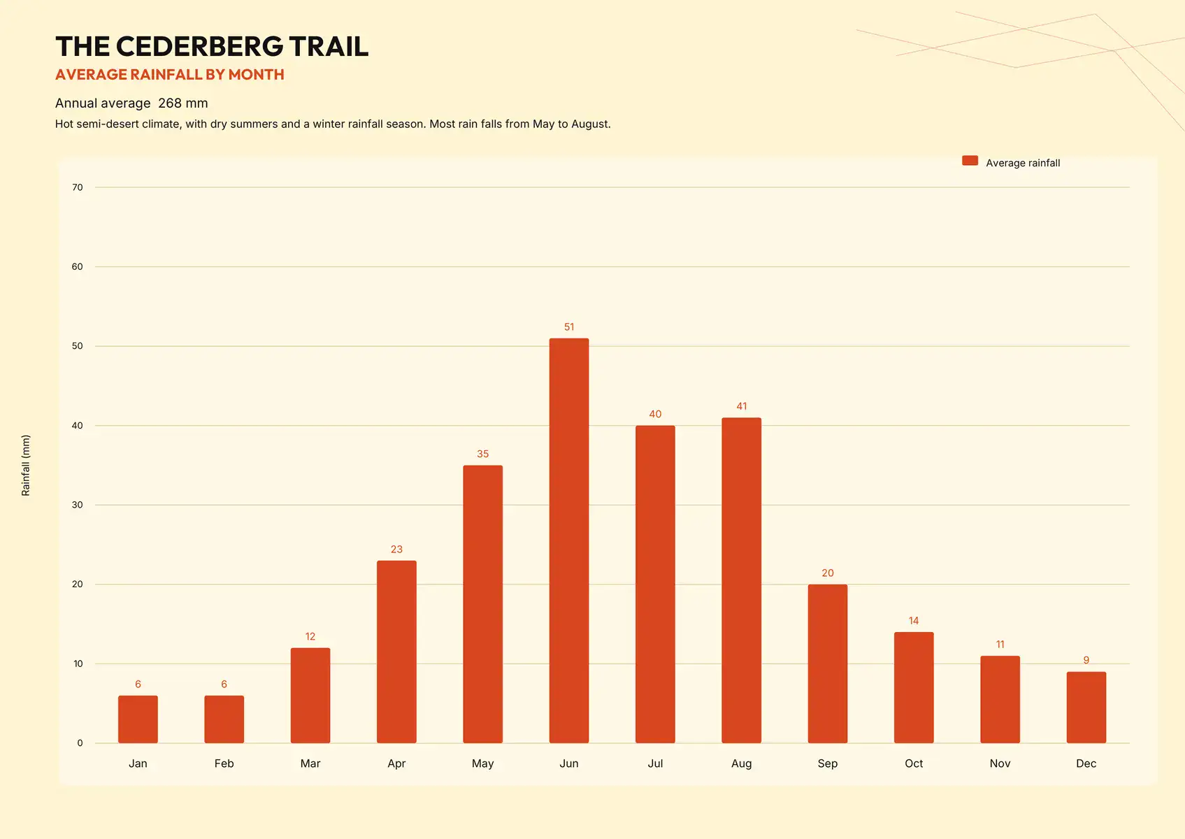
You cannot book the same mountain twice — the seasons and trail experiences keep changing. The Northern Cederberg (altitude 300M to 1100M) is a hot semi-desert with a winter rainfall season; and average annual rainfall of 268mm.

Waterfall in the wet season

July to November

Wetter and milder, best for swimming

The Cederberg is a winter rainfall region, receiving most of its rainfall between June and August.

The Klipopmekaar and Waterfalls rivers generally start flowing in July with good chance of enjoying the waterfalls and swimming from July to November.

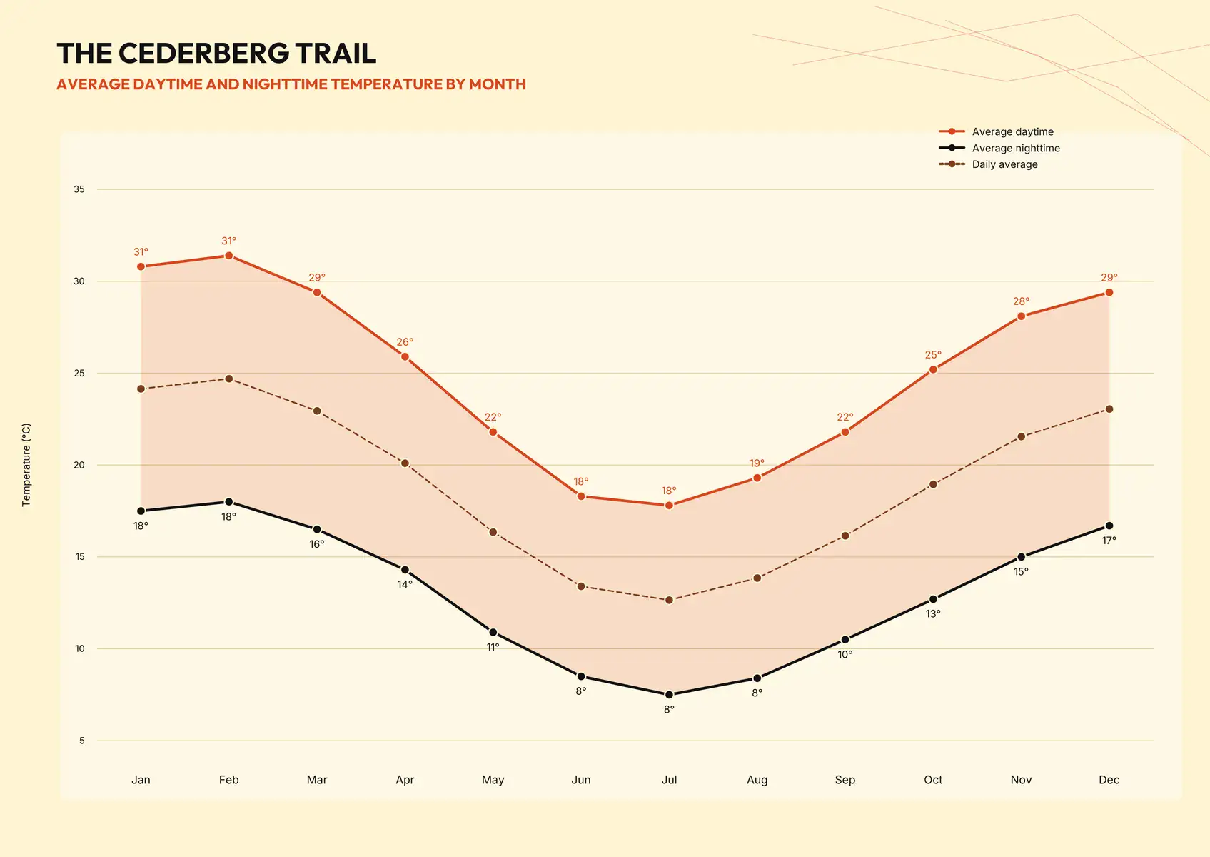
From June to August you can expect cold nights (around 5-15 degrees celcius), and beautiful crisp days. There’s a chance your group may hike in some rainy weather, but oftentimes winter surprises with some lovely, warm days.

Hiker in summer light

December to May

Hotter and drier, good for low chance of rain

Summer brings higher temperatures, extended daylight hours and generally warmer and favourable conditions on the trail.

From January to March, hikers can expect occasional very hot temperatures and and an earlier start is definitely recommended … then you can spend the later afternoons relaxing and swimming at the overnight camps.

Even when seasonal rivers run dry, there are fresh water swimming pools at all three overnight camps.

The striking rock formations along the dry riverbeds remain part of the Cederberg experience.

Spring wildflowers

August

Flower Season

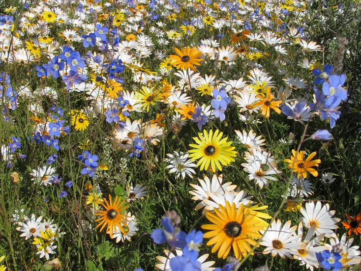
From late-July to mid-September (peaking in August) after winter rains, the Cederberg typically bursts into a multitude colourful wildflowers.

Autumn (April – May) and Spring (Sept – Oct) often provide the kindest walking weather.

Average rainfall by month

Average daytime and nighttime temperature by month

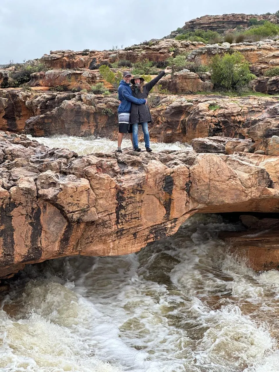
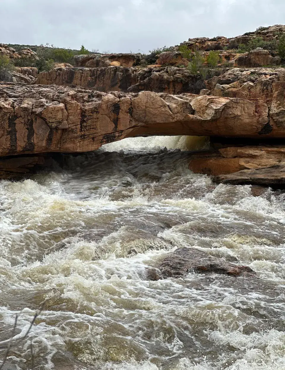
River in flood

When we may need to
cancel your hike

Ordinary wind and rain are part of a mountain week. We only stop you when it could become dangerous to go:
If we need to cancel your hike, you’ll receive a full refund, or you can move your booking to another available date that suits you.
For a forecast you can trust, use YR.NO and search Verkeerde Valley, West Coast District Municipality.
Decorative orange line divider

Directions

Getting here

290 KM

From Cape Town

3 ½ H

From Cape Town to the Cederberg Trail Visitors Centre

17 KM

Final part of the journey on gravel farm roads

Decorative orange line divider

WiFi

No WiFi or Cell Reception on the trail

Wi-Fi is available at the Visitors Centre only. There is NO cellular reception or WiFi at any of the overnight camps or on the trail (perhaps with the exception of some cellular on the highest parts of the trail on Day 3 and Day 4).

Decorative orange line divider

Safety

Trail safety

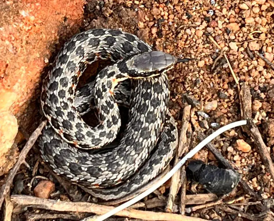
The Cederberg Trail goes through remote wild natural wilderness, with all the associated risks of animals, snakes, spiders, scorpions, insects, weather and walking accidents.

This region is also home to a variety of venomous snakes, including Puffadders and Cape Cobra and hikers should remain alert to their presence.

Hikers should always prepare for all potential weather conditions which can change considerably during any day in the mountains.

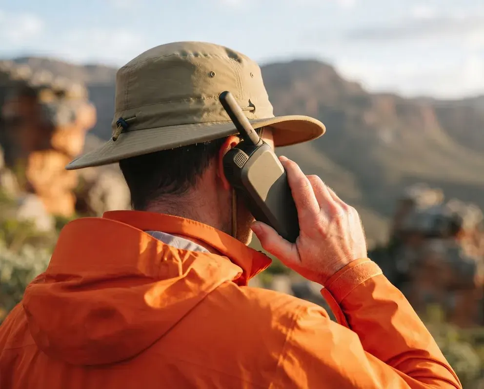
Hiker using a satellite phone

Emergencies

Emergency communication

There is no Wi-fi or reliable cellular reception at any of the overnight camps or on the trail.

Each group is provided with one Satellite phone for emergency communication. The phone will work outdoors (with direct exposure to open sky) anywhere on the trail.

The satellite phone is pre-programmed with key emergency numbers and the trail manager on duty. Please note the satellite phone is locked to prevent calling other numbers.

Hiking groups should stay together on the trail to provide each other with support and Satellite phone access in case of an emergency.

Decorative orange line divider

Rules

Trail Rules & Leave No Trace

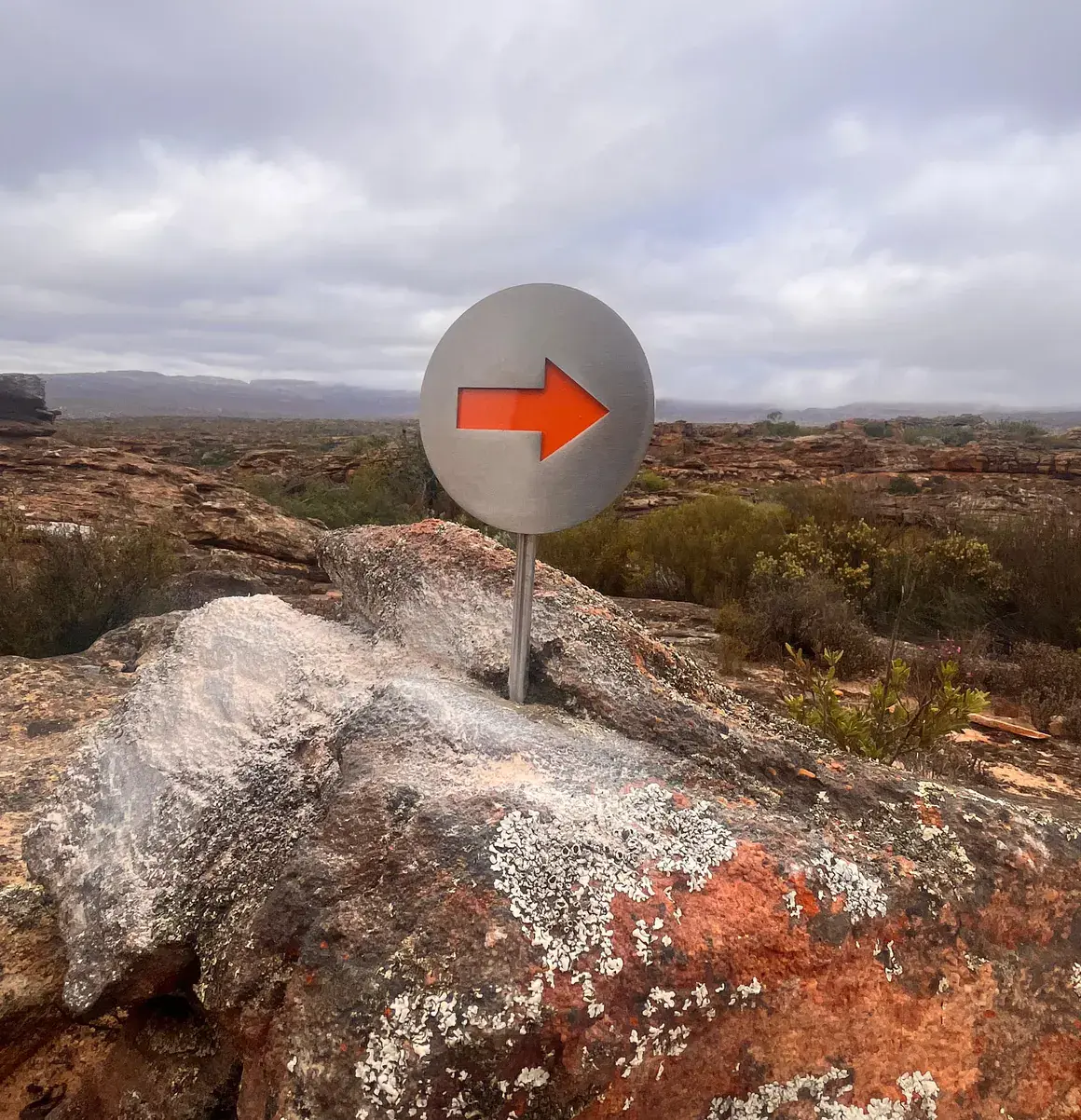
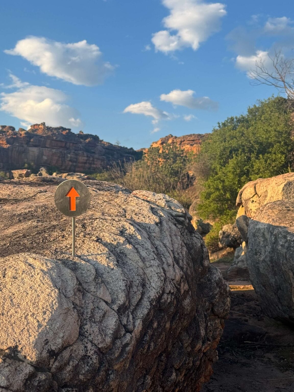
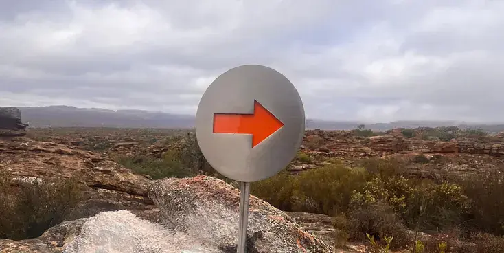
Trail marker

On the trail

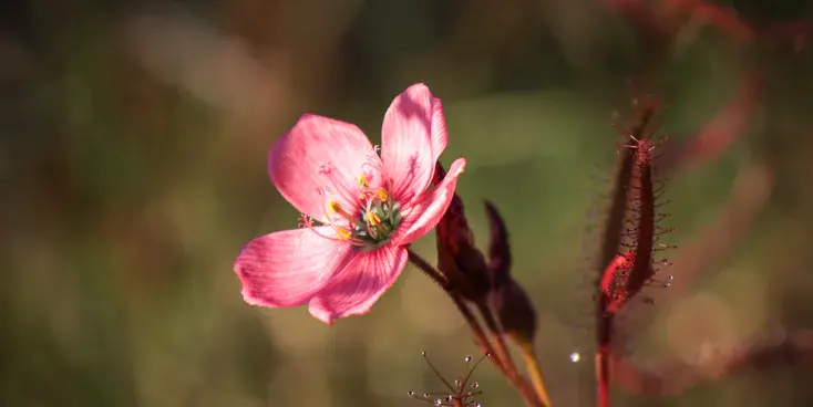
Fynbos flower

Protect nature

San rock paintings

San rock paintings

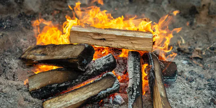
Fire in a braai

Fire

Black general waste bin and green recycling bin side by side

Waste

Tidy POD bedroom

In camp

Decorative orange line divider

Magic Box

Please bring your Magic Box … what’s that?

You’re invited to pack A magic box. Not a real box, unless you want to bring one. Something of yours to share with your friends when the moment feels right: a song, a poem, a page from a book, a joke, a trick, a toast, a ritual, “a bit of theatre, or a silence only you know how to hold.

Your share can be funny or serious, polishes or sideways. Two minutes on a rock after lunch. After dark around the camp fire. At a waterfall. Wherever the day opens up a gap which feels right for you.

Nobody has to do this. That is the point. But when one of your group does, the trail stops being scenery and also becomes your creation and participation.

Share this page

Gather your friends and family. Pick your dates. Go hiking.

Self-guided and self-catered, or guided and catered. Either way, the path is marked, the bags move for you, and the wilderness is yours for four days.

Sign up for updates on new dates and trail news.